District → Changlang
State → Arunachal Pradesh
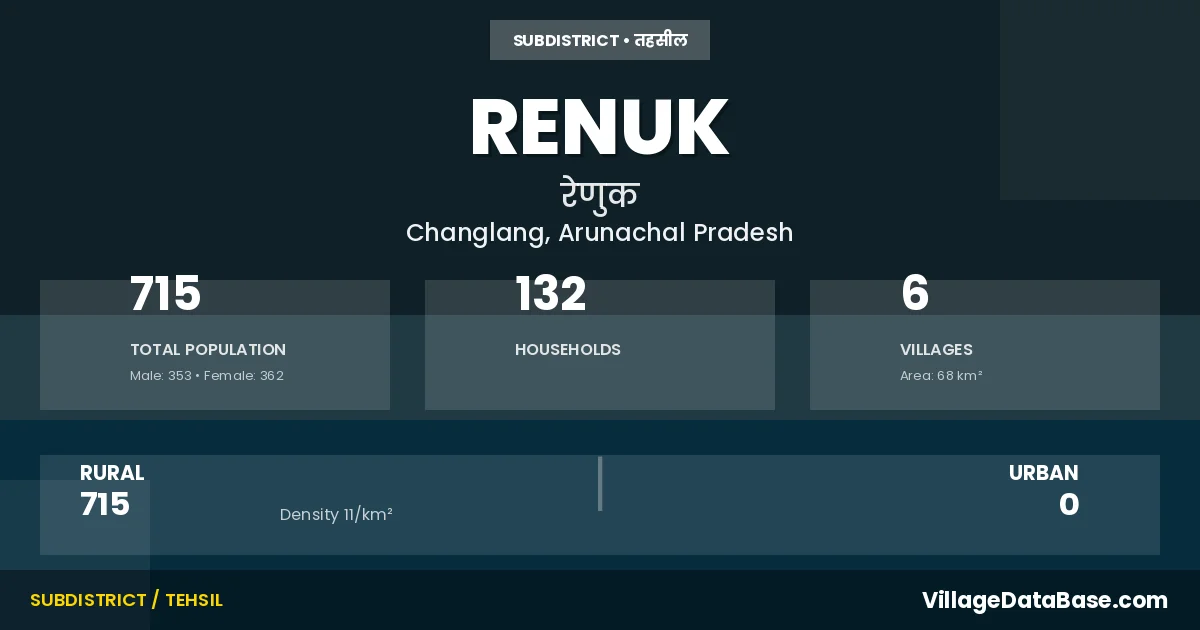
Renuk is a town and Circle in the Changlang district of the Arunachal Pradesh. In India, a Circle is a subdivision of a district responsible for the administration and revenue collection of a specific area within the district. Circles play a crucial role in the local governance structure, contributing significantly to the development and administration of their communities.
According to the 2011 census The total area of Renuk Circle is 68 km², with a population of 715 people. The population density is 11 inhabitants per square kilometre, and there are approximately 132 houses in the sub district.
Renuk Circle comprises about 6 villages. Below is a list of these villages along with information about their respective gram panchayats and the nearest town:
| # | Village Name | Gram Panchayat | Nearest Town |
|---|---|---|---|
| 1 | Borsatum | Margherita (111 km) | |
| 2 | Hetman | Changlang (112 km) | |
| 3 | Ranghil | Margherita (117 km) | |
| 4 | Renuk | Renuk | Margherita (97 km) |
| 5 | Sasum I | Renuk | Margherita (107 km) |
| 6 | Sasum Ii | Renuk | Margherita (109 km) |
The population is distributed between urban and rural areas as follows:
| Particulars | Rural | Urban | Total |
|---|---|---|---|
| Total Population | 715 | 0 | 715 |
| Male Population | 353 | 0 | 353 |
| Female Population | 362 | 0 | 362 | Population Density | 11 / km² | 11 / km² |
The distribution of households in the Renuk is:
| Rural Households | Urban Households | Total Households |
|---|---|---|
| 132 | 0 | 132 |
Q: What is Renuk?
A: Renuk is a town and in the Changlang district of the Arunachal Pradesh.
Q: What is the total area of Renuk Circle?
A: The total area of Renuk Circle is 68 km².
Q: What is the population of Renuk Circle according to the 2011 census?
A: According to the 2011 census, the population of Renuk Circle is 715.
Q: What is the population density of Renuk Circle?
A: The population density of Renuk Circle is 11 inhabitants per square kilometre.
Q: How many houses are there in Renuk Circle?
A: There are approximately 132 houses in Renuk Circle.
Q: How many villages are there in Renuk Circle?
A: There are about 6 villages in Renuk Circle.
Q: Which is the largest village by population in Renuk Circle?
A: The largest village by population in Renuk Circle is Renuk, with 206 people.
Q: Which is the smallest village by population in Renuk Circle?
A: The smallest village by population in Renuk Circle is Sasum Ii, with 66 people.
Q: Which is the largest village by area in Renuk Circle?
A: The largest village by area in Renuk Circle is Borsatum, with 0 km².
Q: Which is the smallest village by area in Renuk Circle?
A: The smallest village by area in Renuk Circle is Borsatum, with 0 km².
Q: What is the population distribution between urban and rural areas in Renuk Circle?
A: The population distribution in Renuk Circle is entirely rural, with a total rural population of 715.
Q: What is the male population of Renuk Circle?
A: The male population of Renuk Circle is 353.
Q: What is the female population of Renuk Circle?
A: The female population of Renuk Circle is 362.
Q: How is the household distribution in Renuk Circle?
A: The household distribution in Renuk Circle is entirely rural, with a total of 132 households.
Q: How many villages in Renuk Circle have a population of less than 100?
A: There are 3 villages in Renuk Circle with a population of less than 100.
Q: How many villages in Renuk Circle have a population between 100 and 499?
A: There are 3 villages in Renuk Circle with a population between 100 and 499.
| Total Population | Villages in Sub District Of Renuk |
|---|---|
| Less than 100 | 3 |
| 100-499 | 3 |