Chambang: A Town and Circle in Kurung Kumey district
District → Kurung Kumey
State → Arunachal Pradesh
Chambang is a town and Circle in the Kurung Kumey district of the Arunachal Pradesh. In India, a Circle is a subdivision of a district responsible for the administration and revenue collection of a specific area within the district. Circles play a crucial role in the local governance structure, contributing significantly to the development and administration of their communities.
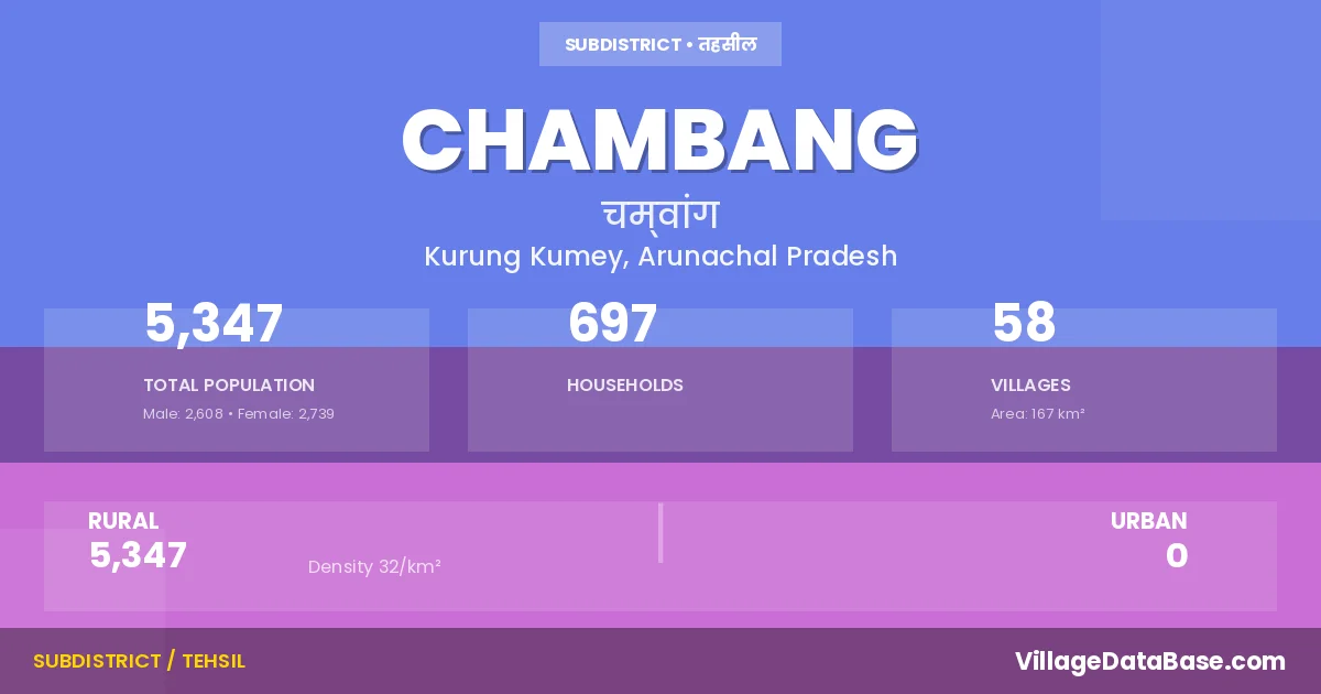
According to the 2011 census The total area of Chambang Circle is 167 km², with a population of 5347 people. The population density is 32 inhabitants per square kilometre, and there are approximately 697 houses in the sub district.
Chambang Circle comprises about 58 villages. Below is a list of these villages along with information about their respective gram panchayats and the nearest town:
| # | Village Name | Gram Panchayat | Nearest Town |
|---|---|---|---|
| 1 | Asupinja | Chambang | |
| 2 | Bodepu | Chambang | |
| 3 | Bongkung | Chambang | |
| 4 | Chambang | Chambang East | Chambang |
| 5 | Cholo | Chambang | |
| 6 | Debe | Chambang | |
| 7 | Delling | Chambang | |
| 8 | Dengdeng | Chambang | |
| 9 | Duguk | Chambang | |
| 10 | Gai I | Chambang | |
| 11 | Galang | Chambang | |
| 12 | Gong | Chambang | |
| 13 | Haming | Chambang | |
| 14 | Harak Ii | Chambang | |
| 15 | Hatey | Chambang | |
| 16 | Jaksitara | Chambang | |
| 17 | Kamrong I | Chambang | |
| 18 | Kamrung Ii | Chambang | |
| 19 | Korayer | Chambang | |
| 20 | Korayer I | Chambang | |
| 21 | Korayer Ii | Chambang | |
| 22 | Kote | Chambang | |
| 23 | Lengdi | Chambang | |
| 24 | Lungchi | Chambang | |
| 25 | Miching | Chambang | |
| 26 | Namhacharbia | Chambang | |
| 27 | Nyomi | Chambang | |
| 28 | Nyoya | Chambang | |
| 29 | Padap | Chambang | |
| 30 | Paha | Chambang | |
| 31 | Palap | Chambang | |
| 32 | Pate | Chambang | |
| 33 | Payer | Chambang | |
| 34 | Piriayer | Chambang | |
| 35 | Pitak | Chambang | |
| 36 | Poksa | Chambang | |
| 37 | Pujiharak | Chambang | |
| 38 | Raseng Hapa | Chambang | |
| 39 | Riambang | Chambang | |
| 40 | Ringte | Chambang | |
| 41 | Rombang | Chambang | |
| 42 | Rongterite | Chambang | |
| 43 | Sangching Nyoriang | Chambang | |
| 44 | Sangha | Chambang | |
| 45 | Sanglo Putung | Chambang | |
| 46 | Sengching | Chambang | |
| 47 | Shaatey | Chambang | |
| 48 | Sonia | Chambang | |
| 49 | Sonyokoto | Chambang | |
| 50 | Tabitalu | Chambang | |
| 51 | Tahu | Chambang | |
| 52 | Takeng | Chambang | |
| 53 | Tangtanpuring | Chambang | |
| 54 | Tapaha | Chambang | |
| 55 | Tirpu | Chambang | |
| 56 | Tudh Bath Iii | Chambang | |
| 57 | Tudubat | Chambang | |
| 58 | Yeripu | Chambang |
The population is distributed between urban and rural areas as follows:
| Particulars | Rural | Urban | Total |
|---|---|---|---|
| Total Population | 5347 | 0 | 5347 |
| Male Population | 2608 | 0 | 2608 |
| Female Population | 2739 | 0 | 2739 | Population Density | 32 / km² | 32 / km² |
The distribution of households in the Chambang is:
| Rural Households | Urban Households | Total Households |
|---|---|---|
| 697 | 0 | 697 |
Q: What is Chambang?
A: Chambang is a town and in the Kurung Kumey district of the Arunachal Pradesh.
Q: What is the total area of Chambang Circle?
A: The total area of Chambang Circle is 167 km².
Q: What is the population of Chambang Circle according to the 2011 census?
A: According to the 2011 census, the population of Chambang Circle is 5347.
Q: What is the population density of Chambang Circle?
A: The population density of Chambang Circle is 32 inhabitants per square kilometre.
Q: How many houses are there in Chambang Circle?
A: There are approximately 697 houses in Chambang Circle.
Q: How many villages are there in Chambang Circle?
A: There are about 58 villages in Chambang Circle.
Q: Which is the largest village by population in Chambang Circle?
A: The largest village by population in Chambang Circle is Chambang, with 673 people.
Q: Which is the smallest village by population in Chambang Circle?
A: The smallest village by population in Chambang Circle is Lengdi, with 0 people.
Q: Which is the largest village by area in Chambang Circle?
A: The largest village by area in Chambang Circle is Asupinja, with 0 km².
Q: Which is the smallest village by area in Chambang Circle?
A: The smallest village by area in Chambang Circle is Asupinja, with 0 km².
Q: What is the population distribution between urban and rural areas in Chambang Circle?
A: The population distribution in Chambang Circle is entirely rural, with a total rural population of 5347.
Q: What is the male population of Chambang Circle?
A: The male population of Chambang Circle is 2608.
Q: What is the female population of Chambang Circle?
A: The female population of Chambang Circle is 2739.
Q: How is the household distribution in Chambang Circle?
A: The household distribution in Chambang Circle is entirely rural, with a total of 697 households.
Q: How many villages in Chambang Circle have a population of less than 100?
A: There are 43 villages in Chambang Circle with a population of less than 100.
Q: How many villages in Chambang Circle have a population between 100 and 499?
A: There are 14 villages in Chambang Circle with a population between 100 and 499.
Q: How many villages in Chambang Circle have a population between 500 and 999?
A: There are 1 villages in Chambang Circle with a population between 500 and 999.
| Total Population | Villages in Sub District Of Chambang |
|---|---|
| Less than 100 | 43 |
| 100-499 | 14 |
| 500-999 | 1 |