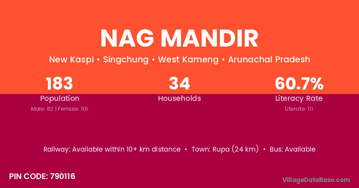
Nag Mandir village is located in the Singchung Circle of the West Kameng district in Arunachal Pradesh .
Block / Circle → Singchung
District → West Kameng
State → Arunachal Pradesh
According to Census 2011 information, the village code of Nag Mandir village is 790116.
Nag Mandir village has a total population of 183 people, of which 82 are males and 101 are females.
The literacy rate of Nag Mandir village is 60.66%. Male literacy stands at 71.95% and female literacy at 51.49%.
There are approximately 34 households in Nag Mandir village.
Rupa (24 km) is the nearest town to Nag Mandir village for major economic activities and is located approximately 24 km away.
The population of Nag Mandir village is distributed between literate and illiterate residents as follows:
| Particulars | Male | Female | Total |
|---|---|---|---|
| Literate | 59 | 52 | 111 |
| Illiterate | 23 | 49 | 72 |
| Total | 82 | 101 | 183 |
Source: Census 2011
| Village | District |
|---|---|
| 14 Brtf Labour Camp | West Kameng |
| Bichom | West Kameng |
| Chittu | West Kameng |
| Dahung River Side Ii | West Kameng |
| Ita Village | West Kameng |
| Lama Gompa | West Kameng |
| Mago Pam | West Kameng |
| Namfri | West Kameng |
| New Kaspi | West Kameng |
| Ramu | Kurung Kumey |
| Ramu | West Kameng |
| Tenga Ledge | West Kameng |
No reviews yet. Be the first to review this village!
Available within 10+ km distance
Available within village
Available within village