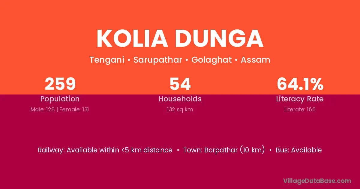
Kolia Dunga village is located in the Sarupathar Subdivision of the Golaghat district in Assam .
Block / Subdivision → Sarupathar
District → Golaghat
State → Assam
Kolia Dunga village has a total population of 259 people, of which 128 are males and 131 are females.
The literacy rate of Kolia Dunga village is 64.09%. Male literacy stands at 68.75% and female literacy at 59.54%.
There are approximately 54 households in Kolia Dunga village.
Borpathar (10 km) is the nearest town to Kolia Dunga village for major economic activities and is located approximately 10 km away.
The population of Kolia Dunga village is distributed between literate and illiterate residents as follows:
| Particulars | Male | Female | Total |
|---|---|---|---|
| Literate | 88 | 78 | 166 |
| Illiterate | 40 | 53 | 93 |
| Total | 128 | 131 | 259 |
Source: Census 2011
| Village | District |
|---|---|
| Baghgaon | Golaghat |
| Borholla No 2 | Golaghat |
| Chabis Ghoria | Golaghat |
| Ex Servicemen Area | Golaghat |
| Garukani | Golaghat |
| Golai | Golaghat |
| Golai | Amravati |
| Golai | Pithoragarh |
| Himora Chuk | Golaghat |
| Ow Tengani | Golaghat |
| Pach Ghoria | Golaghat |
| Samukjan | Golaghat |
| Samukjan | Golaghat |
| Samukjan | Sivasagar |
| Samukjan | Tinsukia |
| Tinikuria | Dibrugarh |
| Tinikuria | Golaghat |
No reviews yet. Be the first to review this village!
Available within <5 km distance
Available within 5 - 10 km distance
Available within 5 - 10 km distance