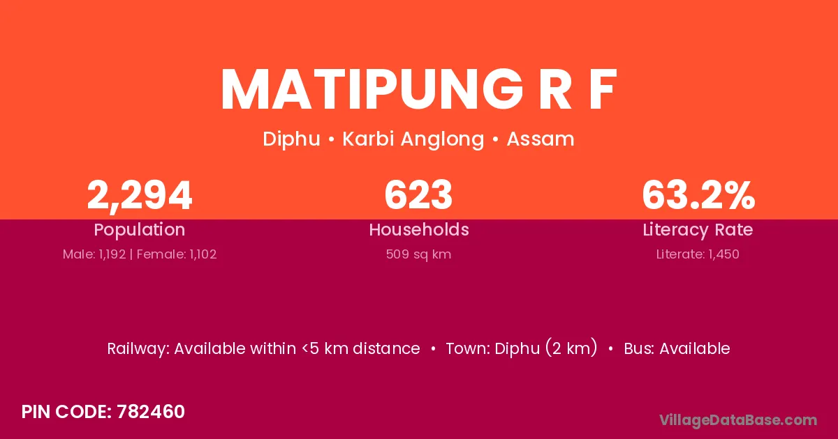
Matipung R F village is located in the Diphu Subdivision of the Karbi Anglong district in Assam .
Block / Subdivision → Diphu
District → Karbi Anglong
State → Assam
According to Census 2011 information, the village code of Matipung R F village is 782460.
Matipung R F village has a total population of 2,294 people, of which 1,192 are males and 1,102 are females.
The literacy rate of Matipung R F village is 63.21%. Male literacy stands at 71.48% and female literacy at 54.26%.
There are approximately 623 households in Matipung R F village.
Diphu (2 km) is the nearest town to Matipung R F village for major economic activities and is located approximately 2 km away.
The population of Matipung R F village is distributed between literate and illiterate residents as follows:
| Particulars | Male | Female | Total |
|---|---|---|---|
| Literate | 852 | 598 | 1,450 |
| Illiterate | 340 | 504 | 844 |
| Total | 1,192 | 1,102 | 2,294 |
Source: Census 2011
| Village | District |
|---|---|
| Central Range Diphu | Karbi Anglong |
| Central Range Manja | Karbi Anglong |
| Dhanshri R F | Karbi Anglong |
| Eastern Range Rongapahar | Karbi Anglong |
| Laharijan A P Bn Colony | Karbi Anglong |
| Laharijan Forest Check Gate | Karbi Anglong |
| Lahorijan Beat Eastern Range | Karbi Anglong |
| Mizung Disa R F | Karbi Anglong |
| Nambor Adarsha Range | Karbi Anglong |
| Rangphadai | Karbi Anglong |
| Tamul Bari R F | Karbi Anglong |
No reviews yet. Be the first to review this village!
Available within <5 km distance
Available within <5 km distance
Available within village