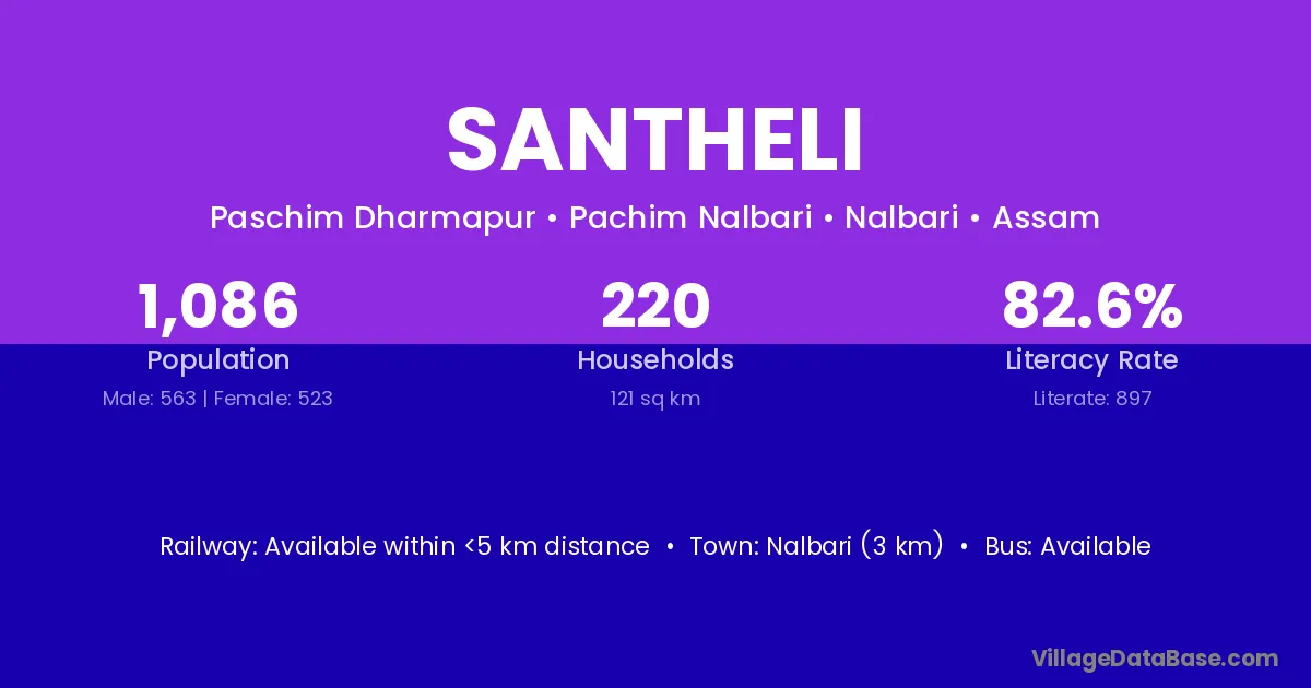
Santheli village is located in the Pachim Nalbari Subdivision of the Nalbari district in Assam .
Block / Subdivision → Pachim Nalbari
District → Nalbari
State → Assam
Santheli village has a total population of 1,086 people, of which 563 are males and 523 are females.
The literacy rate of Santheli village is 82.60%. Male literacy stands at 87.92% and female literacy at 76.86%.
There are approximately 220 households in Santheli village.
Nalbari (3 km) is the nearest town to Santheli village for major economic activities and is located approximately 3 km away.
The population of Santheli village is distributed between literate and illiterate residents as follows:
| Particulars | Male | Female | Total |
|---|---|---|---|
| Literate | 495 | 402 | 897 |
| Illiterate | 68 | 121 | 189 |
| Total | 563 | 523 | 1,086 |
Source: Census 2011
| Village | District |
|---|---|
| Bagurihati | Nalbari |
| Barkhetri Barni | Nalbari |
| Barnarddi | Nalbari |
| Batshor | Nalbari |
| Bihampur | Nalbari |
| Churchuri | Nalbari |
| Khudra Khetribarni | Nalbari |
| Mohkholi | Nalbari |
| Nizpokowa | Nalbari |
| Panigaon | Nalbari |
| Panigaon | Sonitpur |
| Panigaon | Narayanpur |
| Panigaon | Raipur |
| Panigaon | Dewas |
| Panigaon | Kalahandi |
| Panigaon | Kalahandi |
| Simalia | Nalbari |
| Simalia | Nalbari |
| Simalia | Purnia |
| Simalia | Bharuch |
| Simalia | Panch Mahals |
No reviews yet. Be the first to review this village!
Available within <5 km distance
Available within village
Available within <5 km distance