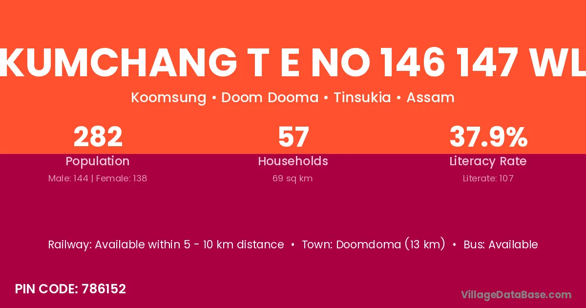
Kumchang T E No 146 147 Wl village is located in the Doom Dooma Subdivision of the Tinsukia district in Assam .
Block / Subdivision → Doom Dooma
District → Tinsukia
State → Assam
According to Census 2011 information, the village code of Kumchang T E No 146 147 Wl village is 786152.
Kumchang T E No 146 147 Wl village has a total population of 282 people, of which 144 are males and 138 are females.
The literacy rate of Kumchang T E No 146 147 Wl village is 37.94%. Male literacy stands at 47.92% and female literacy at 27.54%.
There are approximately 57 households in Kumchang T E No 146 147 Wl village.
Doomdoma (13 km) is the nearest town to Kumchang T E No 146 147 Wl village for major economic activities and is located approximately 13 km away.
The population of Kumchang T E No 146 147 Wl village is distributed between literate and illiterate residents as follows:
| Particulars | Male | Female | Total |
|---|---|---|---|
| Literate | 69 | 38 | 107 |
| Illiterate | 75 | 100 | 175 |
| Total | 144 | 138 | 282 |
Source: Census 2011
| Village | District |
|---|---|
| Gobani Gaon | Tinsukia |
| Kumchang T E No 15 25 63 Wl | Tinsukia |
| Kumchang Te Grant No 287nc | Tinsukia |
| Kumchang Te No 2871 Nlr | Tinsukia |
| Kumsang Te 1 48 Wl | Tinsukia |
| Kumsang Te No 116 Wl | Tinsukia |
| Rangajan Bangali | Tinsukia |
| Rangajan Block | Tinsukia |
| Romai Gabharu No 1 | Tinsukia |
| Romai Gabharu No 2 | Tinsukia |
| Tinga Mira Gaon | Tinsukia |
No reviews yet. Be the first to review this village!
Available within 5 - 10 km distance
Available within <5 km distance
Available within <5 km distance