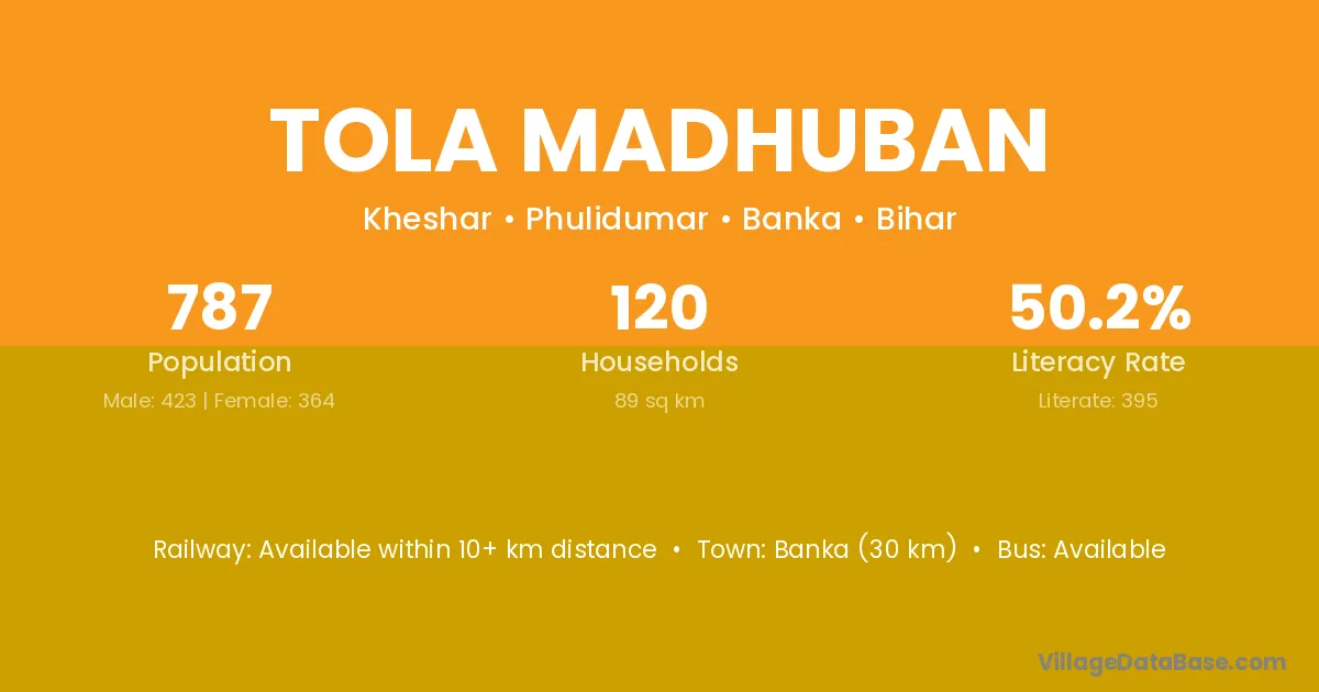
Tola Madhuban village is located in the Katoria Subdivision of the Banka district in Bihar .
The population of Tola Madhuban village is distributed between literate and illiterate residents as follows:
| Particulars | Male | Female | Total |
|---|---|---|---|
| Literate | 0 | 0 | 0 |
| Illiterate | 0 | 0 | 0 |
| Total | 0 | 0 | 0 |
Source: Census 2011
| Village | District |
|---|---|
| Tola Ambatari | Banka |
| Tola Baladih | Banka |
| Tola Barmoh | Banka |
| Tola Chalkawadih | Banka |
| Tola Hirna | Banka |
| Tola Kaharatari | Banka |
| Tola Karothar | Banka |
| Tola Kharwara | Banka |
| Tola Nardah | Banka |
| Tola Nimabathan | Banka |
| Tola Raghunathpur | Banka |
No reviews yet. Be the first to review this village!