Manigachhi: A Town and Subdivision in Darbhanga district
District → Darbhanga
State → Bihar
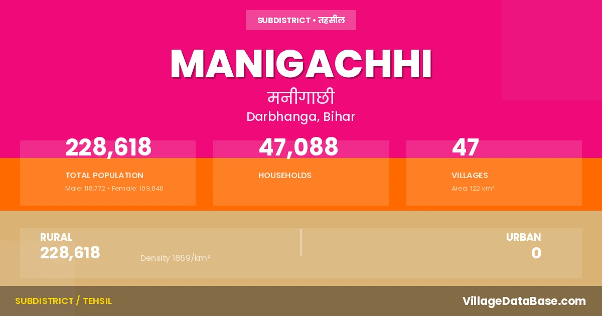
Manigachhi is a town and Subdivision in the Darbhanga district of the Bihar. In India, a Subdivision is a subdivision of a district responsible for the administration and revenue collection of a specific area within the district. Subdivisions play a crucial role in the local governance structure, contributing significantly to the development and administration of their communities.
According to the 2011 census The total area of Manigachhi Subdivision is 122 km², with a population of 228618 people. The population density is 1,869 inhabitants per square kilometre, and there are approximately 47088 houses in the sub district.
Manigachhi Subdivision comprises about 47 villages. Below is a list of these villages along with information about their respective gram panchayats and the nearest town:
| # | Village Name | Gram Panchayat | Nearest Town |
|---|---|---|---|
| 1 | Afzalpur Gangauil | Gangauli Kanakpur | Manigachhi |
| 2 | Amtahi | Ujan | Jhanjharpur (8 km) |
| 3 | Aropur | Katma Bahaurawa | Jhanjharpur (10 km) |
| 4 | Az Rakbe Kotma | Katma Bahaurawa | Jhanjharpur (10 km) |
| 5 | Badhipur | Paiktol Jatuka | Darbhanga (32 km) |
| 6 | Baghant | Baghant | Jhanjharpur (10 km) |
| 7 | Bahuarwa | Katma Bahaurawa | Jhanjharpur (10 km) |
| 8 | Barhampur | Bramhpur | Darbhanga (20 km) |
| 9 | Barhampura | Bramhpura Bhatpura | Jhanjharpur (10 km) |
| 10 | Bazidpur | Bazid Pur | Darbhanga (34 km) |
| 11 | Belahi | Paiktol Jatuka | Darbhanga (33 km) |
| 12 | Belaur | Balaur | Jhanjharpur (15 km) |
| 13 | Bhandarso | Bhandarison | Jhanjharpur (10 km) |
| 14 | Bhatpura | Bramhpura Bhatpura | Jhanjharpur (18 km) |
| 15 | Bihta | Lagma | Darbhanga (20 km) |
| 16 | Bisaul | Raghopur North | Jhanjharpur (11 km) |
| 17 | Chak Basawan | Bhandarison | Jhanjharpur (10 km) |
| 18 | Chak Chintamanpur | Paiktol Jatuka | Darbhanga (30 km) |
| 19 | Chak Milki | Tatuar | Manigachhi |
| 20 | Chandaur | Chanaur | Jhanjharpur (10 km) |
| 21 | Dahura | Raghopur North | Darbhanga (28 km) |
| 22 | Dubhaul | Ujan | Jhanjharpur (8 km) |
| 23 | Gangauli | Gangauli Kanakpur | Jhanjharpur (5 km) |
| 24 | Jagdishpur | Jagdishpur | Darbhanga (30 km) |
| 25 | Jatuka | Paiktol Jatuka | Darbhanga (32 km) |
| 26 | Kaesth Kawai | Raghopur West | Darbhanga (25 km) |
| 27 | Kanakpur | Gangauli Kanakpur | Jhanjharpur (9 km) |
| 28 | Kanhauli | Bramhpur | Darbhanga (20 km) |
| 29 | Kotma | Katma Bahaurawa | Jhanjharpur (10 km) |
| 30 | Lehara | Nehara West | Darbhanga (25 km) |
| 31 | Madhepur | Ujan | Jhanjharpur (7 km) |
| 32 | Mamobihat | Maubehat | Darbhanga (38 km) |
| 33 | Mir Chak | Paiktol Jatuka | Darbhanga (30 km) |
| 34 | Nankar | Manigachhi | |
| 35 | Narotimpur | Bramhpur | Darbhanga (20 km) |
| 36 | Paik Tola | Paiktol Jatuka | Darbhanga (30 km) |
| 37 | Paithan Kawai | Paithan Kabai | Darbhanga (21 km) |
| 38 | Pandaul | Bazid Pur | Darbhanga (35 km) |
| 39 | Phulban | Katma Bahaurawa | Jhanjharpur (10 km) |
| 40 | Raghopur | Raghopur South | Darbhanga (30 km) |
| 41 | Raje | Balaur | Jhanjharpur (10 km) |
| 42 | Siripur Barhampur | Bramhpur | Manigachhi |
| 43 | Sukhwara | Bramhpura Bhatpura | Jhanjharpur (10 km) |
| 44 | Tariati | Maubehat | Darbhanga (38 km) |
| 45 | Tatuar | Tatuar | Manigachhi |
| 46 | Tatuwar | Tatuar | Jhanjharpur (11 km) |
| 47 | Ujan | Ujan | Jhanjharpur (8 km) |
The population is distributed between urban and rural areas as follows:
| Particulars | Rural | Urban | Total |
|---|---|---|---|
| Total Population | 228618 | 0 | 228618 |
| Male Population | 118772 | 0 | 118772 |
| Female Population | 109846 | 0 | 109846 | Population Density | 1869 / km² | 1,869 / km² |
The distribution of households in the Manigachhi is:
| Rural Households | Urban Households | Total Households |
|---|---|---|
| 47088 | 0 | 47088 |
Q: What is Manigachhi?
A: Manigachhi is a town and in the Darbhanga district of the Bihar.
Q: What is the total area of Manigachhi Subdivision?
A: The total area of Manigachhi Subdivision is 122 km².
Q: What is the population of Manigachhi Subdivision according to the 2011 census?
A: According to the 2011 census, the population of Manigachhi Subdivision is 228618.
Q: What is the population density of Manigachhi Subdivision?
A: The population density of Manigachhi Subdivision is 1,869 inhabitants per square kilometre.
Q: How many houses are there in Manigachhi Subdivision?
A: There are approximately 47088 houses in Manigachhi Subdivision.
Q: How many villages are there in Manigachhi Subdivision?
A: There are about 47 villages in Manigachhi Subdivision.
Q: Which is the largest village by population in Manigachhi Subdivision?
A: The largest village by population in Manigachhi Subdivision is Raghopur, with 22403 people.
Q: Which is the smallest village by population in Manigachhi Subdivision?
A: The smallest village by population in Manigachhi Subdivision is Afzalpur Gangauil, with 0 people.
Q: Which is the largest village by area in Manigachhi Subdivision?
A: The largest village by area in Manigachhi Subdivision is Baghant, with 1300 km².
Q: Which is the smallest village by area in Manigachhi Subdivision?
A: The smallest village by area in Manigachhi Subdivision is Siripur Barhampur, with 11 km².
Q: What is the population distribution between urban and rural areas in Manigachhi Subdivision?
A: The population distribution in Manigachhi Subdivision is entirely rural, with a total rural population of 228618.
Q: What is the male population of Manigachhi Subdivision?
A: The male population of Manigachhi Subdivision is 118772.
Q: What is the female population of Manigachhi Subdivision?
A: The female population of Manigachhi Subdivision is 109846.
Q: How is the household distribution in Manigachhi Subdivision?
A: The household distribution in Manigachhi Subdivision is entirely rural, with a total of 47088 households.
Q: How many villages in Manigachhi Subdivision have a population of less than 100?
A: There are 5 villages in Manigachhi Subdivision with a population of less than 100.
Q: How many villages in Manigachhi Subdivision have a population between 100 and 499?
A: There are 1 villages in Manigachhi Subdivision with a population between 100 and 499.
Q: How many villages in Manigachhi Subdivision have a population between 500 and 999?
A: There are 6 villages in Manigachhi Subdivision with a population between 500 and 999.
Q: How many villages in Manigachhi Subdivision have a population between 1000 and 1999?
A: There are 6 villages in Manigachhi Subdivision with a population between 1000 and 1999.
Q: How many villages in Manigachhi Subdivision have a population between 2000 and 2999?
A: There is 6 village in Manigachhi Subdivision with a population between 2000 and 2999.
Q: How many villages in Manigachhi Subdivision have a population between 3000 and 3999?
A: There is 4 village in Manigachhi Subdivision with a population between 3000 and 3999.
Q: How many villages in Manigachhi Subdivision have a population between 4000 and 4999?
A: There is 2 village in Manigachhi Subdivision with a population between 4000 and 4999.
Q: How many villages in Manigachhi Subdivision have a population of 5000 and above?
A: There is 17 village in Manigachhi Subdivision with a population of 5000 and above.
| Total Population | Villages in Sub District Of Manigachhi |
|---|---|
| Less than 100 | 5 |
| 100-499 | 1 |
| 500-999 | 6 |
| 1000-1999 | 6 |
| 2000-2999 | 6 |
| 3000-3999 | 4 |
| 4000-4999 | 2 |
| 5000 And Above | 17 |