Noorsarai: A Town and Subdivision in Nalanda district
District → Nalanda
State → Bihar
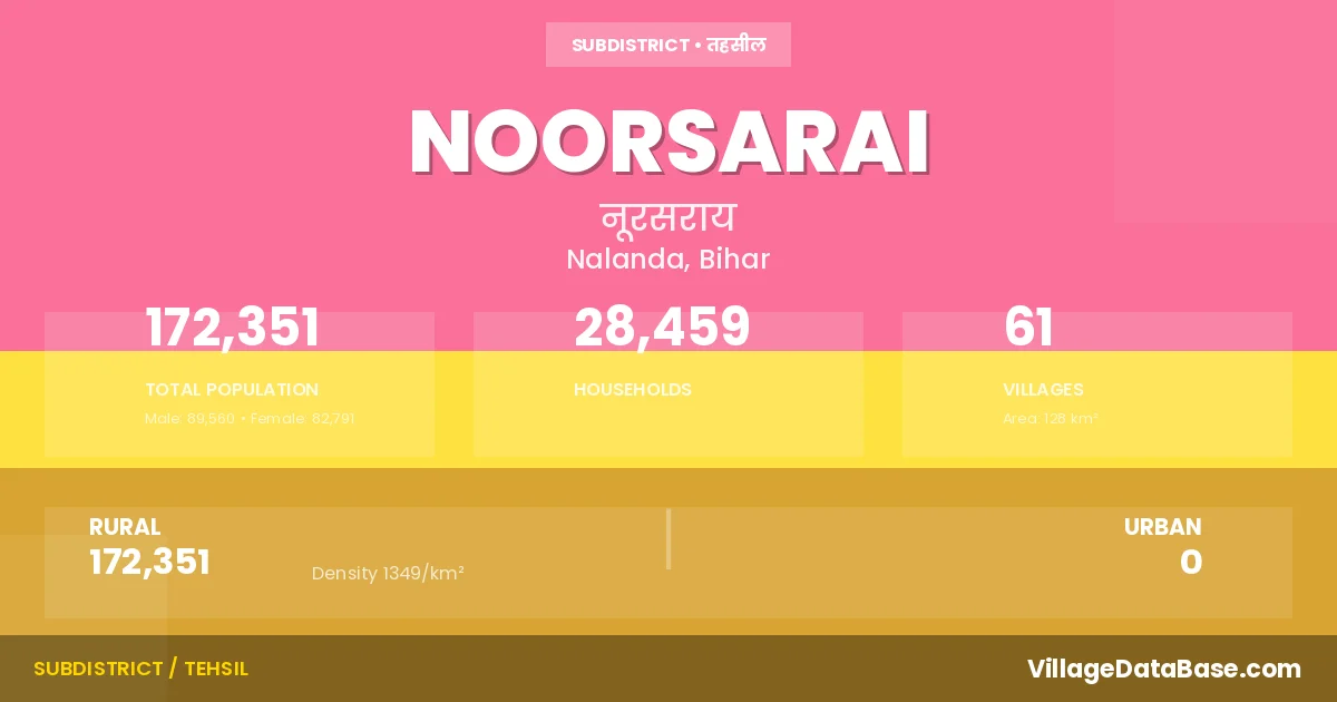
Noorsarai is a town and Subdivision in the Nalanda district of the Bihar. In India, a Subdivision is a subdivision of a district responsible for the administration and revenue collection of a specific area within the district. Subdivisions play a crucial role in the local governance structure, contributing significantly to the development and administration of their communities.
According to the 2011 census The total area of Noorsarai Subdivision is 128 km², with a population of 172351 people. The population density is 1,349 inhabitants per square kilometre, and there are approximately 28459 houses in the sub district.
Noorsarai Subdivision comprises about 61 villages. Below is a list of these villages along with information about their respective gram panchayats and the nearest town:
| # | Village Name | Gram Panchayat | Nearest Town |
|---|---|---|---|
| 1 | Ahiapur | Nadiauna | Biharsharif (8 km) |
| 2 | Ajaipur | Ajaypur | Biharsharif (16 km) |
| 3 | Ajnaura | Ajaypur | Biharsharif (12 km) |
| 4 | Andhana | Andhna | Biharsharif (12 km) |
| 5 | Bansgopalpur | Charuipar | Biharsharif (14 km) |
| 6 | Bara Khurd | Barakhurd | Biharsharif (13 km) |
| 7 | Barara | Barara | Biharsharif (3 km) |
| 8 | Begampur | Mamurabad | Biharsharif (12 km) |
| 9 | Belsar | Nirdur | Biharsharif (15 km) |
| 10 | Bhakhri | Meyar | Biharsharif (10 km) |
| 11 | Budhaul | Nirdur | Biharsharif (15 km) |
| 12 | Chak Chandasi | Chandasi | Biharsharif (11 km) |
| 13 | Chandasi | Chandasi | Biharsharif (8 km) |
| 14 | Charuipar | Charuipar | Biharsharif (14 km) |
| 15 | Darwara | Daruara | Biharsharif (8 km) |
| 16 | Daudpur | Jagdishpur Tiari | Biharsharif (6 km) |
| 17 | Doia | Doiya | Biharsharif (6 km) |
| 18 | Ganpura | Nirdur | Biharsharif (15 km) |
| 19 | Hinganpura | Barara | Biharsharif (3 km) |
| 20 | Ibrahimpur | Meyar | Biharsharif (7 km) |
| 21 | Isapur | Ajaypur | Biharsharif (15 km) |
| 22 | Jagdishpur Tiari | Jagdishpur Tiari | Biharsharif (10 km) |
| 23 | Jamnapur | Doiya | Biharsharif (3 km) |
| 24 | Jhanwan | Andhna | Biharsharif (16 km) |
| 25 | Juhi Chak | Muzaffarpur | Biharsharif (12 km) |
| 26 | Kainri | Meyar | Biharsharif (6 km) |
| 27 | Kaithauli | Muzaffarpur | Biharsharif (10 km) |
| 28 | Kakaila | Mamurabad | Biharsharif (10 km) |
| 29 | Kakaria | Meyar | Biharsharif (5 km) |
| 30 | Kakhra | Barara | Biharsharif (3 km) |
| 31 | Kaparsari | Paparnousa | Biharsharif (12 km) |
| 32 | Kashmiri Chak | Nirdur | Biharsharif (15 km) |
| 33 | Kathanpura | Rasalpur | Biharsharif (8 km) |
| 34 | Kewai | Nadiauna | Biharsharif (7 km) |
| 35 | Kishunpur | Daruara | Biharsharif (8 km) |
| 36 | Kundi | Daruara | Biharsharif (8 km) |
| 37 | Lohri | Meyar | Biharsharif (7 km) |
| 38 | Machhardiha | Paparnousa | Biharsharif (11 km) |
| 39 | Makanpur | Jagdishpur Tiari | Biharsharif (6 km) |
| 40 | Mamurabad | Mamurabad | Biharsharif (10 km) |
| 41 | Mandachh | Barara | Biharsharif (3 km) |
| 42 | Marhara | Nirdur | Biharsharif (18 km) |
| 43 | Mear | Meyar | Biharsharif (10 km) |
| 44 | Musepur Saifuddin | Meyar | Noorsarai |
| 45 | Mustafapur | Mamurabad | Biharsharif (10 km) |
| 46 | Muzaffarpur | Muzaffarpur | Biharsharif (12 km) |
| 47 | Nadiauna | Nadiauna | Biharsharif (10 km) |
| 48 | Naraura | Charuipar | Biharsharif (14 km) |
| 49 | Nari | Jagdishpur Tiari | Biharsharif (8 km) |
| 50 | Nirpur | Nirdur | Biharsharif (15 km) |
| 51 | Nosra | Nirdur | Biharsharif (15 km) |
| 52 | Paparnohsa | Paparnousa | Biharsharif (10 km) |
| 53 | Parasi | Muzaffarpur | Biharsharif (6 km) |
| 54 | Pariaunna | Doiya | Biharsharif (9 km) |
| 55 | Ramdiha | Meyar | Biharsharif (8 km) |
| 56 | Rasalpur | Rasalpur | Biharsharif (10 km) |
| 57 | Ratanpur | Ajaypur | Biharsharif (17 km) |
| 58 | Sakrorha | Paparnousa | Biharsharif (14 km) |
| 59 | Sargaon | Nadiauna | Biharsharif (8 km) |
| 60 | Sherpur | Rasalpur | Biharsharif (20 km) |
| 61 | Sultanpur | Daruara | Biharsharif (8 km) |
The population is distributed between urban and rural areas as follows:
| Particulars | Rural | Urban | Total |
|---|---|---|---|
| Total Population | 172351 | 0 | 172351 |
| Male Population | 89560 | 0 | 89560 |
| Female Population | 82791 | 0 | 82791 | Population Density | 1349 / km² | 1,349 / km² |
The distribution of households in the Noorsarai is:
| Rural Households | Urban Households | Total Households |
|---|---|---|
| 28459 | 0 | 28459 |
Q: What is Noorsarai?
A: Noorsarai is a town and in the Nalanda district of the Bihar.
Q: What is the total area of Noorsarai Subdivision?
A: The total area of Noorsarai Subdivision is 128 km².
Q: What is the population of Noorsarai Subdivision according to the 2011 census?
A: According to the 2011 census, the population of Noorsarai Subdivision is 172351.
Q: What is the population density of Noorsarai Subdivision?
A: The population density of Noorsarai Subdivision is 1,349 inhabitants per square kilometre.
Q: How many houses are there in Noorsarai Subdivision?
A: There are approximately 28459 houses in Noorsarai Subdivision.
Q: How many villages are there in Noorsarai Subdivision?
A: There are about 61 villages in Noorsarai Subdivision.
Q: Which is the largest village by population in Noorsarai Subdivision?
A: The largest village by population in Noorsarai Subdivision is Bara Khurd, with 9812 people.
Q: Which is the smallest village by population in Noorsarai Subdivision?
A: The smallest village by population in Noorsarai Subdivision is Musepur Saifuddin, with 0 people.
Q: Which is the largest village by area in Noorsarai Subdivision?
A: The largest village by area in Noorsarai Subdivision is Bara Khurd, with 847 km².
Q: Which is the smallest village by area in Noorsarai Subdivision?
A: The smallest village by area in Noorsarai Subdivision is Bansgopalpur, with 16 km².
Q: What is the population distribution between urban and rural areas in Noorsarai Subdivision?
A: The population distribution in Noorsarai Subdivision is entirely rural, with a total rural population of 172351.
Q: What is the male population of Noorsarai Subdivision?
A: The male population of Noorsarai Subdivision is 89560.
Q: What is the female population of Noorsarai Subdivision?
A: The female population of Noorsarai Subdivision is 82791.
Q: How is the household distribution in Noorsarai Subdivision?
A: The household distribution in Noorsarai Subdivision is entirely rural, with a total of 28459 households.
Q: How many villages in Noorsarai Subdivision have a population of less than 100?
A: There are 1 villages in Noorsarai Subdivision with a population of less than 100.
Q: How many villages in Noorsarai Subdivision have a population between 100 and 499?
A: There are 3 villages in Noorsarai Subdivision with a population between 100 and 499.
Q: How many villages in Noorsarai Subdivision have a population between 500 and 999?
A: There are 7 villages in Noorsarai Subdivision with a population between 500 and 999.
Q: How many villages in Noorsarai Subdivision have a population between 1000 and 1999?
A: There are 22 villages in Noorsarai Subdivision with a population between 1000 and 1999.
Q: How many villages in Noorsarai Subdivision have a population between 2000 and 2999?
A: There is 8 village in Noorsarai Subdivision with a population between 2000 and 2999.
Q: How many villages in Noorsarai Subdivision have a population between 3000 and 3999?
A: There is 5 village in Noorsarai Subdivision with a population between 3000 and 3999.
Q: How many villages in Noorsarai Subdivision have a population between 4000 and 4999?
A: There is 3 village in Noorsarai Subdivision with a population between 4000 and 4999.
Q: How many villages in Noorsarai Subdivision have a population of 5000 and above?
A: There is 12 village in Noorsarai Subdivision with a population of 5000 and above.
| Total Population | Villages in Sub District Of Noorsarai |
|---|---|
| Less than 100 | 1 |
| 100-499 | 3 |
| 500-999 | 7 |
| 1000-1999 | 22 |
| 2000-2999 | 8 |
| 3000-3999 | 5 |
| 4000-4999 | 3 |
| 5000 And Above | 12 |