District → Nawada
State → Bihar
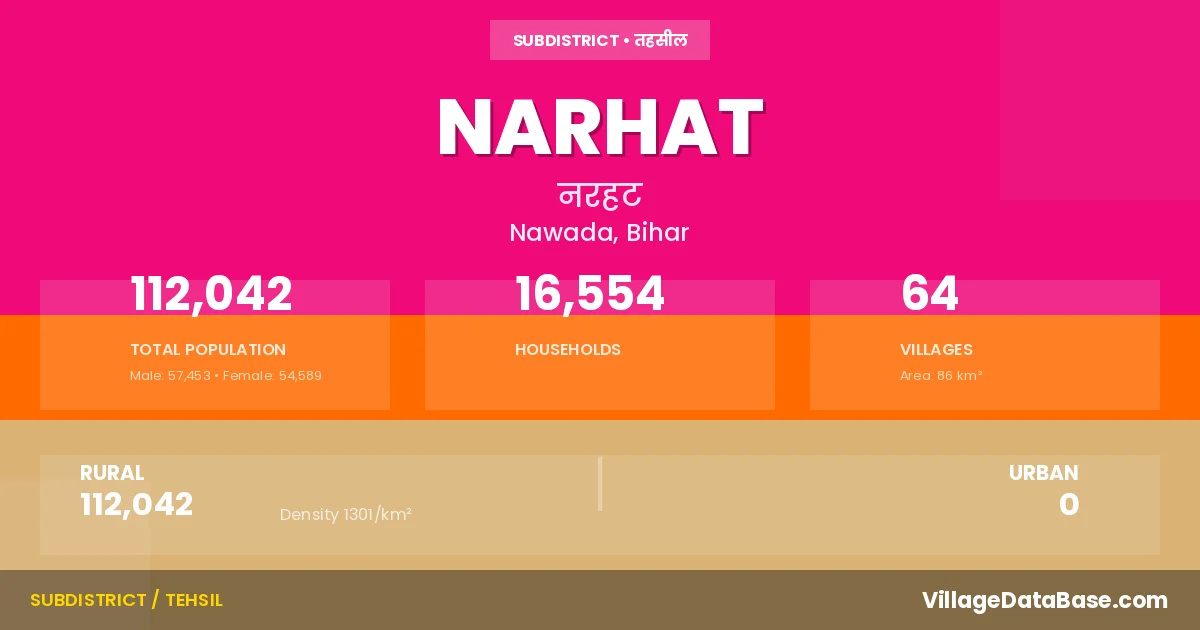
Narhat is a town and Subdivision in the Nawada district of the Bihar. In India, a Subdivision is a subdivision of a district responsible for the administration and revenue collection of a specific area within the district. Subdivisions play a crucial role in the local governance structure, contributing significantly to the development and administration of their communities.
According to the 2011 census The total area of Narhat Subdivision is 86 km², with a population of 112042 people. The population density is 1,301 inhabitants per square kilometre, and there are approximately 16554 houses in the sub district.
Narhat Subdivision comprises about 64 villages. Below is a list of these villages along with information about their respective gram panchayats and the nearest town:
| # | Village Name | Gram Panchayat | Nearest Town |
|---|---|---|---|
| 1 | Abgil | Konibar | Hisua (13 km) |
| 2 | Akhra | Jamuara | Hisua (10 km) |
| 3 | Babhnaur | Babhnaur | Hisua (5 km) |
| 4 | Badalpur | Saidapur Gowasa | Hisua (18 km) |
| 5 | Bajo Chak | Jamuara | Hisua (4 km) |
| 6 | Banian Bigha | Punaul | Hisua (12 km) |
| 7 | Bara | Punthar | Hisua (12 km) |
| 8 | Bara Khurd | Babhnaur | Hisua (5 km) |
| 9 | Barauli | Jamuara | Hisua (9 km) |
| 10 | Barauli Chak | Jamuara | Narhat |
| 11 | Barauta | Shekhpura | Hisua (5 km) |
| 12 | Bazidpur | Khanwan | Hisua (12 km) |
| 13 | Bhikhanpura | Saidapur Gowasa | Hisua (18 km) |
| 14 | Bhim Bigha | Jamuara | Hisua (4 km) |
| 15 | Chainpura | Pali Khurd | Hisua (4 km) |
| 16 | Chanda Chak | Khanwan | Hisua (12 km) |
| 17 | Chatar | Babhnaur | Hisua (10 km) |
| 18 | Dai Bigha | Babhnaur | Hisua (7 km) |
| 19 | Dargahi Bigaha | Punthar | Hisua (13 km) |
| 20 | Daulatpur | Pali Khurd | Hisua (6 km) |
| 21 | Derhgaon | Khanwan | Hisua (20 km) |
| 22 | Dewara | Pali Khurd | Hisua (5 km) |
| 23 | Ekamba | Khanwan | Hisua (9 km) |
| 24 | Gajra | Jamuara | Hisua (10 km) |
| 25 | Gangapur | Punaul | Hisua (14 km) |
| 26 | Gangata | Punthar | Hisua (12 km) |
| 27 | Garo Bigha | Babhnaur | Hisua (8 km) |
| 28 | Guru Chak | Pali Khurd | Hisua (2 km) |
| 29 | Hansa Chak | Babhnaur | Narhat |
| 30 | Hansapur | Khanwan | Hisua (9 km) |
| 31 | Hasanpur | Babhnaur | Hisua (16 km) |
| 32 | Hazi Dhab | Saidapur Gowasa | Hisua (18 km) |
| 33 | Hazratpur | Punthar | Hisua (15 km) |
| 34 | Jalalpur | Konibar | Hisua (13 km) |
| 35 | Jamuara | Jamuara | Hisua (10 km) |
| 36 | Jasa Chak | Saidapur Gowasa | Narhat |
| 37 | Jhikarua | Shekhpura | Hisua (3 km) |
| 38 | Karman | Punthar | Hisua (12 km) |
| 39 | Khanawan | Khanwan | Hisua (12 km) |
| 40 | Konibar | Konibar | Hisua (15 km) |
| 41 | Kusa | Shekhpura | Hisua (7 km) |
| 42 | Mayapur | Punthar | Hisua (11 km) |
| 43 | Milki | Punthar | Hisua (12 km) |
| 44 | Misir Chak | Konibar | Hisua (18 km) |
| 45 | Narayanpur | Jamuara | Hisua (10 km) |
| 46 | Narhat | Narhat | Hisua (8 km) |
| 47 | Nawada | Saidapur Gowasa | Hisua (15 km) |
| 48 | Pali Kalan | Pali Khurd | Hisua (2 km) |
| 49 | Pali Khurd | Pali Khurd | Hisua (2 km) |
| 50 | Panre Chak | Punaul | Hisua (6 km) |
| 51 | Patal Bigha | Punaul | Hisua (8 km) |
| 52 | Punaul | Punaul | Hisua (11 km) |
| 53 | Punthar | Punthar | Hisua (5 km) |
| 54 | Qazipura | Jamuara | Hisua (8 km) |
| 55 | Raja Bigha | Konibar | Hisua (11 km) |
| 56 | Rampur Dhorhan | Punaul | Hisua (14 km) |
| 57 | Saidapur Goasa | Saidapur Gowasa | Hisua (18 km) |
| 58 | Saidpur | Punaul | Hisua (7 km) |
| 59 | Shah Ghazipur | Jamuara | Hisua (10 km) |
| 60 | Shekhpura | Shekhpura | Hisua (5 km) |
| 61 | Sinduari | Jamuara | Hisua (6 km) |
| 62 | Tarupur | Punthar | Hisua (12 km) |
| 63 | Walipur | Konibar | Hisua (10 km) |
| 64 | Walipur Chehal Chak | Konibar | Hisua (13 km) |
The population is distributed between urban and rural areas as follows:
| Particulars | Rural | Urban | Total |
|---|---|---|---|
| Total Population | 112042 | 0 | 112042 |
| Male Population | 57453 | 0 | 57453 |
| Female Population | 54589 | 0 | 54589 | Population Density | 1301 / km² | 1,301 / km² |
The distribution of households in the Narhat is:
| Rural Households | Urban Households | Total Households |
|---|---|---|
| 16554 | 0 | 16554 |
Q: What is Narhat?
A: Narhat is a town and in the Nawada district of the Bihar.
Q: What is the total area of Narhat Subdivision?
A: The total area of Narhat Subdivision is 86 km².
Q: What is the population of Narhat Subdivision according to the 2011 census?
A: According to the 2011 census, the population of Narhat Subdivision is 112042.
Q: What is the population density of Narhat Subdivision?
A: The population density of Narhat Subdivision is 1,301 inhabitants per square kilometre.
Q: How many houses are there in Narhat Subdivision?
A: There are approximately 16554 houses in Narhat Subdivision.
Q: How many villages are there in Narhat Subdivision?
A: There are about 64 villages in Narhat Subdivision.
Q: Which is the largest village by population in Narhat Subdivision?
A: The largest village by population in Narhat Subdivision is Narhat, with 10977 people.
Q: Which is the smallest village by population in Narhat Subdivision?
A: The smallest village by population in Narhat Subdivision is Barauli Chak, with 0 people.
Q: Which is the largest village by area in Narhat Subdivision?
A: The largest village by area in Narhat Subdivision is Khanawan, with 659 km².
Q: Which is the smallest village by area in Narhat Subdivision?
A: The smallest village by area in Narhat Subdivision is Walipur Chehal Chak, with 15 km².
Q: What is the population distribution between urban and rural areas in Narhat Subdivision?
A: The population distribution in Narhat Subdivision is entirely rural, with a total rural population of 112042.
Q: What is the male population of Narhat Subdivision?
A: The male population of Narhat Subdivision is 57453.
Q: What is the female population of Narhat Subdivision?
A: The female population of Narhat Subdivision is 54589.
Q: How is the household distribution in Narhat Subdivision?
A: The household distribution in Narhat Subdivision is entirely rural, with a total of 16554 households.
Q: How many villages in Narhat Subdivision have a population of less than 100?
A: There are 3 villages in Narhat Subdivision with a population of less than 100.
Q: How many villages in Narhat Subdivision have a population between 100 and 499?
A: There are 6 villages in Narhat Subdivision with a population between 100 and 499.
Q: How many villages in Narhat Subdivision have a population between 500 and 999?
A: There are 12 villages in Narhat Subdivision with a population between 500 and 999.
Q: How many villages in Narhat Subdivision have a population between 1000 and 1999?
A: There are 26 villages in Narhat Subdivision with a population between 1000 and 1999.
Q: How many villages in Narhat Subdivision have a population between 2000 and 2999?
A: There is 10 village in Narhat Subdivision with a population between 2000 and 2999.
Q: How many villages in Narhat Subdivision have a population between 4000 and 4999?
A: There is 5 village in Narhat Subdivision with a population between 4000 and 4999.
Q: How many villages in Narhat Subdivision have a population of 5000 and above?
A: There is 2 village in Narhat Subdivision with a population of 5000 and above.
| Total Population | Villages in Sub District Of Narhat |
|---|---|
| Less than 100 | 3 |
| 100-499 | 6 |
| 500-999 | 12 |
| 1000-1999 | 26 |
| 2000-2999 | 10 |
| 4000-4999 | 5 |
| 5000 And Above | 2 |