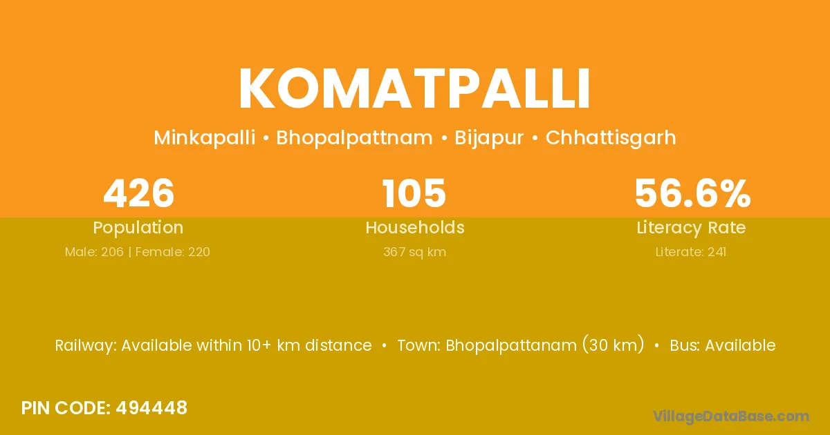
Komatpalli village is located in the Usur Tehsil of the Bijapur district in Chhattisgarh .
Block / Tehsil → Usur
District → Bijapur
State → Chhattisgarh
According to Census 2011 information, the village code of Komatpalli village is 496227.
Komatpalli village has a total population of 97 people, of which 53 are males and 44 are females.
The literacy rate of Komatpalli village is 35.05%. Male literacy stands at 41.51% and female literacy at 27.27%.
There are approximately 29 households in Komatpalli village.
Jagdalpur (239 km) is the nearest town to Komatpalli village for major economic activities and is located approximately 239 km away.
The population of Komatpalli village is distributed between literate and illiterate residents as follows:
| Particulars | Male | Female | Total |
|---|---|---|---|
| Literate | 22 | 12 | 34 |
| Illiterate | 31 | 32 | 63 |
| Total | 53 | 44 | 97 |
Source: Census 2011
| Village | District |
|---|---|
| Bhattiguda | Bijapur |
| Bhattiguda | Dakshin Bastar Dantewada |
| Bomed | Bijapur |
| Chinganmot | Bijapur |
| Damawaram | Bijapur |
| Kanchala | Bijapur |
| Kanchala | Kolar |
| Kaurgutta | Bijapur |
| Kondapalli | Bijapur |
| Kottapalli | Bijapur |
| Kottapalli | Bijapur |
| Kottapalli | Chikkaballapura |
| Kottapenta | Bijapur |
| Palaguda | Lower Subansiri |
| Palaguda | Bijapur |
| Polampalli | Bijapur |
| Polampalli | Dakshin Bastar Dantewada |
| Polampalli | Chikkaballapura |
No reviews yet. Be the first to review this village!
Available within 10+ km distance
Available
Available within 10+ km distance