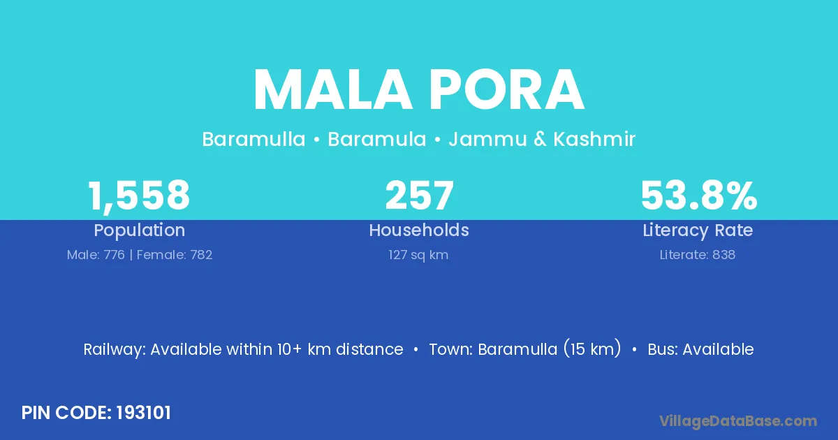
Mala Pora village is located in the Baramulla Tehsil of the Baramula district in Jammu & Kashmir .
Block / Tehsil → Baramulla
District → Baramula
State → Jammu & Kashmir
According to Census 2011 information, the village code of Mala Pora village is 193101.
Mala Pora village has a total population of 1,558 people, of which 776 are males and 782 are females.
The literacy rate of Mala Pora village is 53.79%. Male literacy stands at 65.21% and female literacy at 42.46%.
There are approximately 257 households in Mala Pora village.
Baramulla (15 km) is the nearest town to Mala Pora village for major economic activities and is located approximately 15 km away.
The population of Mala Pora village is distributed between literate and illiterate residents as follows:
| Particulars | Male | Female | Total |
|---|---|---|---|
| Literate | 506 | 332 | 838 |
| Illiterate | 270 | 450 | 720 |
| Total | 776 | 782 | 1,558 |
Source: Census 2011
| Village | District |
|---|---|
| Bulbul Abad | Baramula |
| Danger Pora | Badgam |
| Danger Pora | Baramula |
| Danger Pora | Baramula |
| Danger Pora | Ganderbal |
| Danger Pora | Pulwama |
| Gulistan | Baramula |
| Gulistan | Pulwama |
| Lal Pora | Baramula |
| Lal Pora | Baramula |
| Lal Pora | Kupwara |
| Lal Pora | Pulwama |
| Lal Pora | Pulwama |
| Latifabad | Baramula |
| Nambalan | Baramula |
| Nowrang | Baramula |
| Odura | Baramula |
| Odura | Pithoragarh |
| Tari Pora Wansaran | Baramula |
| Wahdat Pora | Baramula |
| Weri Nar | Baramula |
No reviews yet. Be the first to review this village!
Available within 10+ km distance
Available within village
Available within village