District → Ranchi
State → Jharkhand
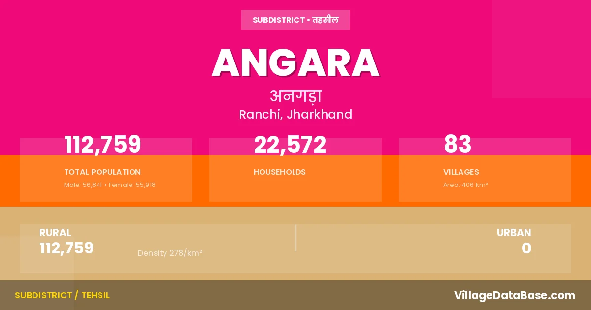
Angara is a town and Subdivision in the Ranchi district of the Jharkhand. In India, a Subdivision is a subdivision of a district responsible for the administration and revenue collection of a specific area within the district. Subdivisions play a crucial role in the local governance structure, contributing significantly to the development and administration of their communities.
According to the 2011 census The total area of Angara Subdivision is 406 km², with a population of 112759 people. The population density is 278 inhabitants per square kilometre, and there are approximately 22572 houses in the sub district.
Angara Subdivision comprises about 83 villages. Below is a list of these villages along with information about their respective gram panchayats and the nearest town:
| # | Village Name | Gram Panchayat | Nearest Town |
|---|---|---|---|
| 1 | Agartoli | Haratu | Angara |
| 2 | Angara | Angara | Ranchi |
| 3 | Asri | Barwadag | Ranchi |
| 4 | Badri | Kucchu | Angara |
| 5 | Baheya | Lupung | Angara |
| 6 | Bakshidih | Haratu | Angara |
| 7 | Banpur | Bongaibera | Ranchi |
| 8 | Barkigorang | Nawagarh | Ranchi |
| 9 | Barwadag | Barwadag | Ranchi |
| 10 | Benadag | Getalsud | Ranchi |
| 11 | Berwari | Salhan | Angara |
| 12 | Beti | Bisa | Angara |
| 13 | Bisa | Bisa | Ranchi |
| 14 | Bongaibera | Bongaibera | Angara |
| 15 | Buki | Getalsud | Ranchi |
| 16 | Burhibera | Chatra | Angara |
| 17 | Chaldag | Childag | Ranchi |
| 18 | Chatra | Chatra | Angara |
| 19 | Cheldagsoso | Childag | Ranchi |
| 20 | Dahua | Jonha | Angara |
| 21 | Dhurleta | Rajadera | Ranchi |
| 22 | Dimra | Kucchu | Ranchi |
| 23 | Dokad | Jonha | Angara |
| 24 | Dumargarhi | Barwadag | Ranchi |
| 25 | Getalsud | Getalsud | Angara |
| 26 | Guridih | Guridih | Ranchi |
| 27 | Gutidih | Sursu | Ranchi |
| 28 | Hahe | Lupung | Ranchi |
| 29 | Hapatbera | Guridih | Ranchi |
| 30 | Haratu | Haratu | Angara |
| 31 | Hesal | Hesal | Ranchi |
| 32 | Hesatu | Hesatu | Angara |
| 33 | Heslabera | Guridih | Ranchi |
| 34 | Hundru | Kucchu | Ranchi |
| 35 | Id | Haratu | Ranchi |
| 36 | Ikarhatu | Tati | Angara |
| 37 | Jamuari | Hesal | Ranchi |
| 38 | Janum | Angara | Ranchi |
| 39 | Jaradih | Tati | Ranchi |
| 40 | Jaratoli | Jonha | Ranchi |
| 41 | Jarga | Paika | Ranchi |
| 42 | Jaspur | Haratu | Ranchi |
| 43 | Jidu | Jonha | Ranchi |
| 44 | Jonha | Jonha | Angara |
| 45 | Kamta | Kucchu | Ranchi |
| 46 | Kashidih | Barwadag | Ranchi |
| 47 | Koynardih | Guridih | Angara |
| 48 | Kuchu | Kucchu | Angara |
| 49 | Ladhuptola | Haratu | Angara |
| 50 | Lalgarh | Childag | Angara |
| 51 | Lepsar | Jonha | Angara |
| 52 | Lupung | Lupung | Ranchi |
| 53 | Maheshpur | Sirka | Angara |
| 54 | Malghonghsa | Hesatu | Ranchi |
| 55 | Masniya | Sirka | Angara |
| 56 | Masu | Hesal | Ranchi |
| 57 | Merha | Guridih | Ranchi |
| 58 | Mungadih | Tati | Angara |
| 59 | Musangu | Barwadag | Ranchi |
| 60 | Narayansoso | Angara | Ranchi |
| 61 | Nawadih | Tati | Ranchi |
| 62 | Nawagarh | Nawagarh | Angara |
| 63 | Obar | Nawagarh | Ranchi |
| 64 | Orwabera | Tati | Angara |
| 65 | Pahar Singh | Barwadag | Ranchi |
| 66 | Paika | Paika | Ranchi |
| 67 | Pailada Or Nagraberadegadegi | Haratu | Angara |
| 68 | Pertol | Lupung | Ranchi |
| 69 | Rajadera | Rajadera | Ranchi |
| 70 | Rangamati | Nawagarh | Ranchi |
| 71 | Resham | Getalsud | Angara |
| 72 | Rupru | Rajadera | Ranchi |
| 73 | Saheda | Haratu | Ranchi |
| 74 | Salhan | Salhan | Ranchi |
| 75 | Sarugori | Guridih | Ranchi |
| 76 | Simaliya | Childag | Ranchi |
| 77 | Singari | Sursu | Ranchi |
| 78 | Sirka | Sirka | Angara |
| 79 | Sitadih | Barwadag | Angara |
| 80 | Soso | Nawagarh | Angara |
| 81 | Sursu | Sursu | Ranchi |
| 82 | Tati | Tati | Angara |
| 83 | Turup | Salhan | Ranchi |
The population is distributed between urban and rural areas as follows:
| Particulars | Rural | Urban | Total |
|---|---|---|---|
| Total Population | 112759 | 0 | 112759 |
| Male Population | 56841 | 0 | 56841 |
| Female Population | 55918 | 0 | 55918 | Population Density | 278 / km² | 278 / km² |
The distribution of households in the Angara is:
| Rural Households | Urban Households | Total Households |
|---|---|---|
| 22572 | 0 | 22572 |
Q: What is Angara?
A: Angara is a town and in the Ranchi district of the Jharkhand.
Q: What is the total area of Angara Subdivision?
A: The total area of Angara Subdivision is 406 km².
Q: What is the population of Angara Subdivision according to the 2011 census?
A: According to the 2011 census, the population of Angara Subdivision is 112759.
Q: What is the population density of Angara Subdivision?
A: The population density of Angara Subdivision is 278 inhabitants per square kilometre.
Q: How many houses are there in Angara Subdivision?
A: There are approximately 22572 houses in Angara Subdivision.
Q: How many villages are there in Angara Subdivision?
A: There are about 83 villages in Angara Subdivision.
Q: Which is the largest village by population in Angara Subdivision?
A: The largest village by population in Angara Subdivision is Hesal, with 5207 people.
Q: Which is the smallest village by population in Angara Subdivision?
A: The smallest village by population in Angara Subdivision is Ikarhatu, with 0 people.
Q: Which is the largest village by area in Angara Subdivision?
A: The largest village by area in Angara Subdivision is Tati, with 1700 km².
Q: Which is the smallest village by area in Angara Subdivision?
A: The smallest village by area in Angara Subdivision is Ikarhatu, with 32 km².
Q: What is the population distribution between urban and rural areas in Angara Subdivision?
A: The population distribution in Angara Subdivision is entirely rural, with a total rural population of 112759.
Q: What is the male population of Angara Subdivision?
A: The male population of Angara Subdivision is 56841.
Q: What is the female population of Angara Subdivision?
A: The female population of Angara Subdivision is 55918.
Q: How is the household distribution in Angara Subdivision?
A: The household distribution in Angara Subdivision is entirely rural, with a total of 22572 households.
Q: How many villages in Angara Subdivision have a population of less than 100?
A: There are 1 villages in Angara Subdivision with a population of less than 100.
Q: How many villages in Angara Subdivision have a population between 100 and 499?
A: There are 14 villages in Angara Subdivision with a population between 100 and 499.
Q: How many villages in Angara Subdivision have a population between 500 and 999?
A: There are 26 villages in Angara Subdivision with a population between 500 and 999.
Q: How many villages in Angara Subdivision have a population between 1000 and 1999?
A: There are 25 villages in Angara Subdivision with a population between 1000 and 1999.
Q: How many villages in Angara Subdivision have a population between 2000 and 2999?
A: There is 9 village in Angara Subdivision with a population between 2000 and 2999.
Q: How many villages in Angara Subdivision have a population between 3000 and 3999?
A: There is 4 village in Angara Subdivision with a population between 3000 and 3999.
Q: How many villages in Angara Subdivision have a population between 4000 and 4999?
A: There is 2 village in Angara Subdivision with a population between 4000 and 4999.
Q: How many villages in Angara Subdivision have a population of 5000 and above?
A: There is 2 village in Angara Subdivision with a population of 5000 and above.
| Total Population | Villages in Sub District Of Angara |
|---|---|
| Less than 100 | 1 |
| 100-499 | 14 |
| 500-999 | 26 |
| 1000-1999 | 25 |
| 2000-2999 | 9 |
| 3000-3999 | 4 |
| 4000-4999 | 2 |
| 5000 And Above | 2 |