District → Osmanabad
State → Maharashtra
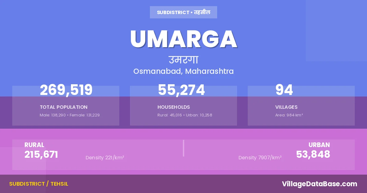
Umarga is a town and Tehsil in the Osmanabad district of the Maharashtra. In India, a Tehsil is a subdivision of a district responsible for the administration and revenue collection of a specific area within the district. Tehsils play a crucial role in the local governance structure, contributing significantly to the development and administration of their communities.
According to the 2011 census The total area of Umarga Tehsil is 984 km², with a population of 269519 people. The population density is 274 inhabitants per square kilometre, and there are approximately 55274 houses in the sub district.
Umarga Tehsil comprises about 94 villages. Below is a list of these villages along with information about their respective gram panchayats and the nearest town:
| # | Village Name | Gram Panchayat | Nearest Town |
|---|---|---|---|
| 1 | Acharya Tanda | Ambarnagar | Murum (40 km) |
| 2 | Alur | Alur | Murum (52 km) |
| 3 | Ambarnagar | Ambarnagar | Murum (45 km) |
| 4 | Ashta Jahangir | Asta J | Umarga (14 km) |
| 5 | Aurad | Aurad | Murum (5 km) |
| 6 | Babalsur | Babalsoor | Umranga (15 km) |
| 7 | Balsur | Balsoor | Umarga (23 km) |
| 8 | Baradwadi | Bhusni | Murum (23 km) |
| 9 | Belamb | Belamb | Murum (62 km) |
| 10 | Bendga | Bedga | Umarga (6 km) |
| 11 | Bhagatwadi | Bhagatwadi | Umranga (20 km) |
| 12 | Bhikar Sangvi | Bhikarsangvi | Umarga (5 km) |
| 13 | Bhusni | Bhusni | Murum (24 km) |
| 14 | Bori | Bori | Umranga (22 km) |
| 15 | Chandkal | Bedga | Umarga (9 km) |
| 16 | Chinchkota | Chinchkota | Umarga (10 km) |
| 17 | Chincholi Bhuyar | Chincholi Bur | Murum (5 km) |
| 18 | Chincholi Jahagir | Chincholi J | Murum (6 km) |
| 19 | Chirewadi | Bhagatwadi | Umranga (15 km) |
| 20 | Dabka | Dabbka | Umarga (12 km) |
| 21 | Dalimb | Dalim | Umarga (30 km) |
| 22 | Dawal Malikwadi | Dawal Malikwadi | Murum (25 km) |
| 23 | Dhaktiwadi | Dhaktewadi | Umarga (12 km) |
| 24 | Dhanora Dagad | Dhanora D | Umarga (18 km) |
| 25 | Diggi | Diggi | Umarga (16 km) |
| 26 | Dudhanal | Kadamapur | Umranga (15 km) |
| 27 | Ekundi Jahagir | Gungothi | Murum (8 km) |
| 28 | Ekundiwadi | Yekundi J | Murum (8 km) |
| 29 | Ekurga | Ekurga | Umarga (21 km) |
| 30 | Ekurgawadi | Ekurga | Murum (9 km) |
| 31 | Fulsingnagar | Ambarnagar | Murum (41 km) |
| 32 | Ganeshnagar | Ganesh Nagar | Murum (40 km) |
| 33 | Gugalgaon | Gugalgaon | Umranga (15 km) |
| 34 | Gunjoti | Gungothi | Murum (4 km) |
| 35 | Gunjotiwadi | Gungothi | Murum (12 km) |
| 36 | Guruwadi | Guruwadi | Umarga (5 km) |
| 37 | Handral | Handral | Umranga (20 km) |
| 38 | Hippargarao | Hiparga Rao | Umarga (20 km) |
| 39 | Ingole Tanda | Ambarnagar | Murum (50 km) |
| 40 | Jagadalwadi | Jagdalwadi | Umarga (13 km) |
| 41 | Jakekur | Jakekoor | Murum (8 km) |
| 42 | Jakekurwadi | Jekekurwadi | Murum (4 km) |
| 43 | Jawalga Bet | Jawalgabet | Umranga (10 km) |
| 44 | Kadamapur | Kadamapur | Umranga (24 km) |
| 45 | Kaddora | Kaddora | Umranga (15 km) |
| 46 | Kader | Kader | Murum (22 km) |
| 47 | Kaldeo Nimbala | Kaldev Nimbala | Umranga (14 km) |
| 48 | Kalnimbala | Kalnimala | Umranga (15 km) |
| 49 | Kanthekur | Kantekur | Murum (46 km) |
| 50 | Karali | Karali | Umarga (15 km) |
| 51 | Kasgi | Kasgi | Murum (25 km) |
| 52 | Kasgiwadi | Kasgi | Murum (18 km) |
| 53 | Katewadi | Chincholi Bur | Murum (5 km) |
| 54 | Kawatha | Kawata | Umranga (13 km) |
| 55 | Kesar Jawalga | Kesar Jawalga | Murum (54 km) |
| 56 | Kolewadi | Naikchakur | Umranga (21 km) |
| 57 | Kolsur | Kolsur Gu | Umarga (5 km) |
| 58 | Koral | Koral | Umarga (15 km) |
| 59 | Koregaon | Koregaon | Murum (4 km) |
| 60 | Koregaonwadi | Koregaonwadi | Murum (4 km) |
| 61 | Kothali | Kothali | Murum (56 km) |
| 62 | Kunhali | Kunali | Umranga (15 km) |
| 63 | Madaj | Madaj | Umranga (12 km) |
| 64 | Mahalingraiwadi | Mhalingraywadi | Murum (30 km) |
| 65 | Malgi | Malagi | Umarga (10 km) |
| 66 | Malgiwadi | Malgi Wadi | Umarga (9 km) |
| 67 | Manegopal | Dhanora D | Umarga (20 km) |
| 68 | Matola Kh | Matola | Umranga (16 km) |
| 69 | Mulaj | Mulaj | Umranga (16 km) |
| 70 | Murli | Murli | Murum (54 km) |
| 71 | Murum | Murum (34 km) | |
| 72 | Nagral | Nangral Gu | Umarga (8 km) |
| 73 | Nai Chakur | Naikchakur | Umranga (19 km) |
| 74 | Naiknagar | Naiknagar M | Murum (32 km) |
| 75 | Narangwadi | Narang Wadi | Umranga (15 km) |
| 76 | Palasgaon | Palasgaon | Murum (9 km) |
| 77 | Paraskheda | Bhikarsangvi | Umarga (4 km) |
| 78 | Peth Sangvi | Petsangvi | Umranga (9 km) |
| 79 | Rampur | Rampur | Umarga (25 km) |
| 80 | Samudral | Samudral | Umranga (5 km) |
| 81 | Sawalsur | Savalsor | Umranga (10 km) |
| 82 | Sundarwadi | Sundar Wadi | Murum (25 km) |
| 83 | Supatgaon | Supatgaon | Murum (25 km) |
| 84 | Talmod | Talmod | Umarga (12 km) |
| 85 | Thorliwadi | Thorliwadi | Umarga (12 km) |
| 86 | Trikoli | Trikoli | Umranga (15 km) |
| 87 | Tugaon | Tugaon | Murum (21 km) |
| 88 | Turori | Turori | Umarga (9 km) |
| 89 | Umarga | Murum (6 km) | |
| 90 | Varnalwadi | Varnalwadi | Murum (45 km) |
| 91 | Vhantal | Vantal | Umarga (20 km) |
| 92 | Wagdari | Wagdari | Umranga (10 km) |
| 93 | Yeli | Eeli | Murum (5 km) |
| 94 | Yenegur | Yenegur | Murum (26 km) |
The population is distributed between urban and rural areas as follows:
| Particulars | Rural | Urban | Total |
|---|---|---|---|
| Total Population | 215671 | 53848 | 269519 |
| Male Population | 110773 | 27517 | 138290 |
| Female Population | 104898 | 26331 | 131229 | Population Density | 221 / km² | 7907 / km² | 274 / km² |
The distribution of households in the Umarga is:
| Rural Households | Urban Households | Total Households |
|---|---|---|
| 45016 | 10258 | 55274 |
Q: What is Umarga?
A: Umarga is a town and in the Osmanabad district of the Maharashtra.
Q: What is the total area of Umarga Tehsil?
A: The total area of Umarga Tehsil is 984 km².
Q: What is the population of Umarga Tehsil according to the 2011 census?
A: According to the 2011 census, the population of Umarga Tehsil is 269519.
Q: What is the population density of Umarga Tehsil?
A: The population density of Umarga Tehsil is 274 inhabitants per square kilometre.
Q: How many houses are there in Umarga Tehsil?
A: There are approximately 55274 houses in Umarga Tehsil.
Q: How many villages are there in Umarga Tehsil?
A: There are about 94 villages in Umarga Tehsil.
Q: Which is the largest village by population in Umarga Tehsil?
A: The largest village by population in Umarga Tehsil is Dalimb, with 9102 people.
Q: Which is the smallest village by population in Umarga Tehsil?
A: The smallest village by population in Umarga Tehsil is Acharya Tanda, with 209 people.
Q: Which is the largest village by area in Umarga Tehsil?
A: The largest village by area in Umarga Tehsil is Alur, with 3564 km².
Q: Which is the smallest village by area in Umarga Tehsil?
A: The smallest village by area in Umarga Tehsil is Matola Kh, with 196 km².
Q: What is the male population of Umarga Tehsil?
A: The male population of Umarga Tehsil is 138290.
Q: What is the female population of Umarga Tehsil?
A: The female population of Umarga Tehsil is 131229.
Q: How many villages in Umarga Tehsil have a population between 100 and 499?
A: There are 8 villages in Umarga Tehsil with a population between 100 and 499.
Q: How many villages in Umarga Tehsil have a population between 500 and 999?
A: There are 21 villages in Umarga Tehsil with a population between 500 and 999.
Q: How many villages in Umarga Tehsil have a population between 1000 and 1999?
A: There are 30 villages in Umarga Tehsil with a population between 1000 and 1999.
Q: How many villages in Umarga Tehsil have a population between 2000 and 2999?
A: There is 11 village in Umarga Tehsil with a population between 2000 and 2999.
Q: How many villages in Umarga Tehsil have a population between 3000 and 3999?
A: There is 8 village in Umarga Tehsil with a population between 3000 and 3999.
Q: How many villages in Umarga Tehsil have a population between 4000 and 4999?
A: There is 5 village in Umarga Tehsil with a population between 4000 and 4999.
Q: How many villages in Umarga Tehsil have a population of 5000 and above?
A: There is 11 village in Umarga Tehsil with a population of 5000 and above.
| Total Population | Villages in Sub District Of Umarga |
|---|---|
| 100-499 | 8 |
| 500-999 | 21 |
| 1000-1999 | 30 |
| 2000-2999 | 11 |
| 3000-3999 | 8 |
| 4000-4999 | 5 |
| 5000 And Above | 11 |