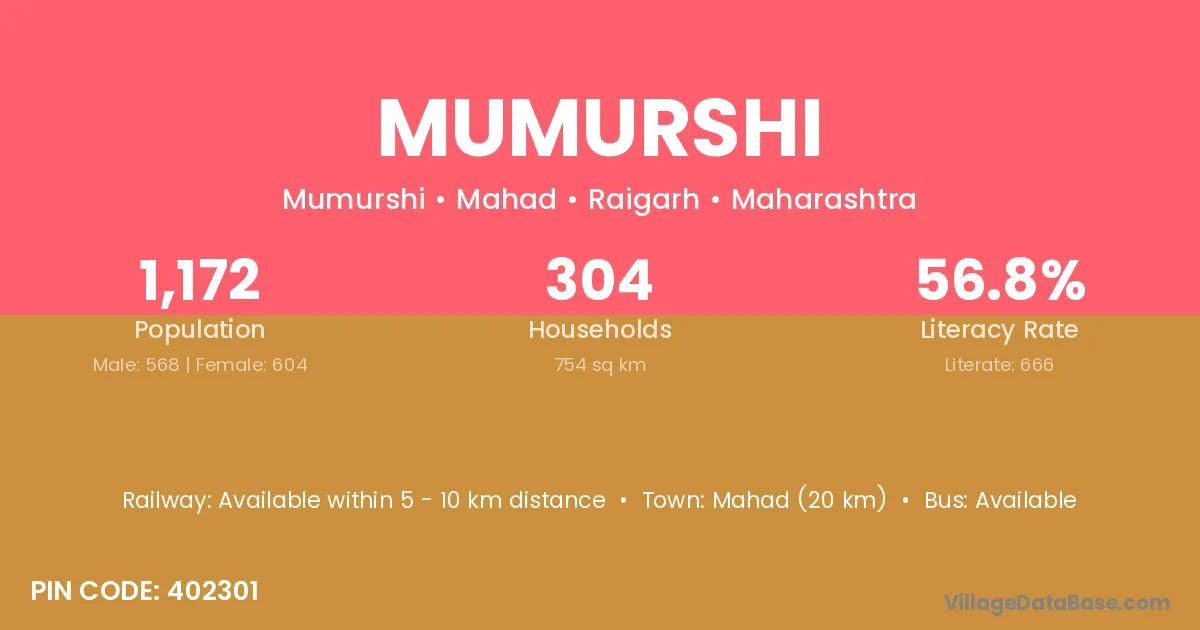
Mumurshi village is located in the Mahad Tehsil of the Raigarh district in Maharashtra .
Block / Tehsil → Mahad
District → Raigarh
State → Maharashtra
According to Census 2011 information, the village code of Mumurshi village is 402301.
Mumurshi village has a total population of 1,172 people, of which 568 are males and 604 are females.
The literacy rate of Mumurshi village is 56.83%. Male literacy stands at 64.08% and female literacy at 50.00%.
There are approximately 304 households in Mumurshi village.
Mahad (20 km) is the nearest town to Mumurshi village for major economic activities and is located approximately 20 km away.
The population of Mumurshi village is distributed between literate and illiterate residents as follows:
| Particulars | Male | Female | Total |
|---|---|---|---|
| Literate | 364 | 302 | 666 |
| Illiterate | 204 | 302 | 506 |
| Total | 568 | 604 | 1,172 |
Source: Census 2011
| Village | District |
|---|---|
| Ade | Upper Subansiri |
| Ade | Raigarh |
| Ade | Ratnagiri |
| Ambavali Bk | Raigarh |
| Ambavali Bk | Ratnagiri |
| Ambavali Kh | Raigarh |
| Ambavali Kh | Ratnagiri |
| Bhomjai | Raigarh |
| Bijghar | Raigarh |
| Bijghar | Ratnagiri |
| Karanjadi | Raigarh |
| Kurle | Raigarh |
| Kurle | Satara |
| Kurle | Thane |
| Natondi | Raigarh |
| Pimpalkond | Raigarh |
| Rajiwali | Raigarh |
| Rajiwali | Raigarh |
| Ugavat Kond | Raigarh |
No reviews yet. Be the first to review this village!
Available within 5 - 10 km distance
Available within village
Available within 10+ km distance