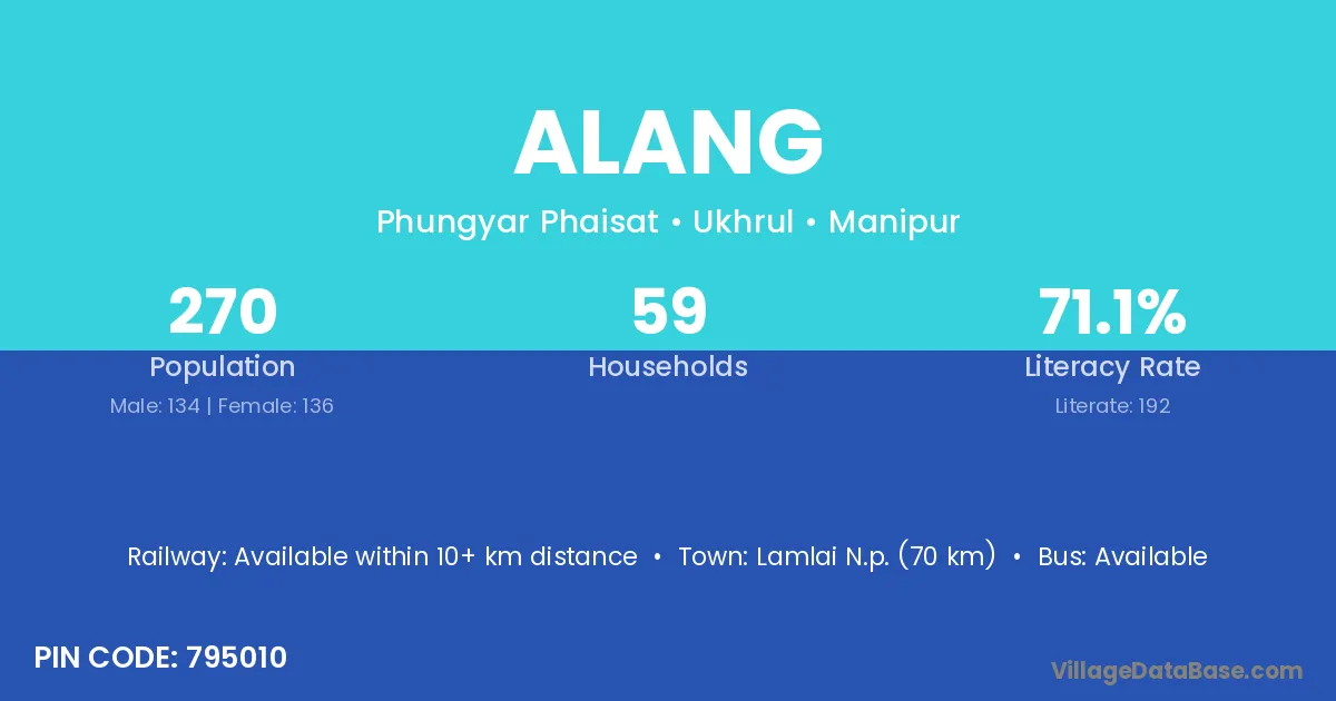
Alang village is located in the Phungyar Phaisat Subdivision of the Ukhrul district in Manipur .
Block / Subdivision → Phungyar Phaisat
District → Ukhrul
State → Manipur
According to Census 2011 information, the village code of Alang village is 795010.
Alang village has a total population of 270 people, of which 134 are males and 136 are females.
The literacy rate of Alang village is 71.11%. Male literacy stands at 73.88% and female literacy at 68.38%.
There are approximately 59 households in Alang village.
Lamlai N.p. (70 km) is the nearest town to Alang village for major economic activities and is located approximately 70 km away.
The population of Alang village is distributed between literate and illiterate residents as follows:
| Particulars | Male | Female | Total |
|---|---|---|---|
| Literate | 99 | 93 | 192 |
| Illiterate | 35 | 43 | 78 |
| Total | 134 | 136 | 270 |
Source: Census 2011
No reviews yet. Be the first to review this village!
Available within 10+ km distance
Available within 10+ km distance
Available within village