Welcome Back

Forgot password?
Don't have an account?
🏘️ Menu
Mamit District 0.0 / 5 (0)

Hmunpui Village Detailed Information

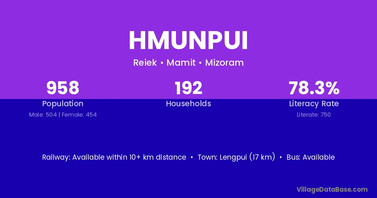
Hmunpui village is located in the Reiek Subdivision of the Mamit district in Mizoram .

About Hmunpui Village

Block / Subdivision → Reiek

District → Mamit

State → Mizoram

Hmunpui village has a total population of 958 people, of which 504 are males and 454 are females.

The literacy rate of Hmunpui village is 78.29%. Male literacy stands at 78.37% and female literacy at 78.19%.

There are approximately 192 households in Hmunpui village.

Lengpui (17 km) is the nearest town to Hmunpui village for major economic activities and is located approximately 17 km away.

Population of Hmunpui Village

The population of Hmunpui village is distributed between literate and illiterate residents as follows:

Population distribution of Hmunpui village by literacy and gender
Particulars Male Female Total
Literate 395 355 750
Illiterate 109 99 208
Total 504 454 958

Source: Census 2011

Nearby Villages

Frequently Asked Questions

Hmunpui village is located in the Reiek Subdivision of the Mamit district in Mizoram.
The total population is 958 people.
504 males and 454 females.
The literacy rate is 78.29%.
Male literacy rate is 78.37%, and female literacy rate is 78.19%.
There are approximately 192 houses in Hmunpui village.
Lengpui (17 km) is the nearest town, located approximately 17 km away.

Reviews and Ratings

0.0 / 5 (0 reviews)

Reviews

No reviews yet. Be the first to review this village!

Hmunpui Village Statistics

Population
958
Households
192
Nearest Town :
Lengpui (17 km)

Quick Information

State / UT : Mizoram
Population : 958
Households : 192
Nearest Town : Lengpui (17 km)

Connectivity of Hmunpui

🚂 Railway Station

Available within 10+ km distance

🚌 Public Bus Service

Available within 10+ km distance

🚌 Private Bus Service

Available within 10+ km distance

Need Help?

Contact local tourism office for assistance