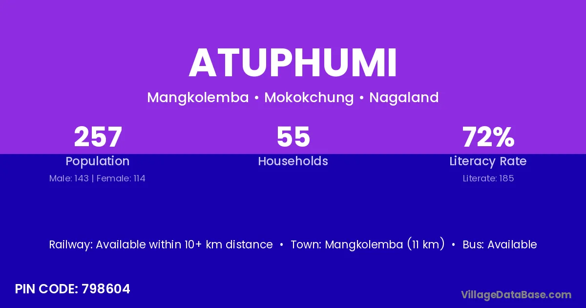
Atuphumi village is located in the Mangkolemba Circle of the Mokokchung district in Nagaland .
Block / Circle → Mangkolemba
District → Mokokchung
State → Nagaland
According to Census 2011 information, the village code of Atuphumi village is 798604.
Atuphumi village has a total population of 257 people, of which 143 are males and 114 are females.
The literacy rate of Atuphumi village is 71.98%. Male literacy stands at 71.33% and female literacy at 72.81%.
There are approximately 55 households in Atuphumi village.
Mangkolemba (11 km) is the nearest town to Atuphumi village for major economic activities and is located approximately 11 km away.
The population of Atuphumi village is distributed between literate and illiterate residents as follows:
| Particulars | Male | Female | Total |
|---|---|---|---|
| Literate | 102 | 83 | 185 |
| Illiterate | 41 | 31 | 72 |
| Total | 143 | 114 | 257 |
Source: Census 2011
| Village | District |
|---|---|
| Chungliyimsen | Mokokchung |
| Chungliyimsen Comp | Mokokchung |
| Japu | East Kameng |
| Japu | Mokokchung |
| Longnak | Mokokchung |
| Longsemdang | Mokokchung |
| Longtho | Mokokchung |
| Mangkolemba Hq | Mokokchung |
| Merakiong | Mokokchung |
| Puneboto Comp | Mokokchung |
| Satsukba | Mokokchung |
| Shihaphumi | Mokokchung |
No reviews yet. Be the first to review this village!
Available within 10+ km distance
Available within 10+ km distance
Available within 10+ km distance