Akuhaito: A Town and Circle in Zunheboto district
District → Zunheboto
State → Nagaland
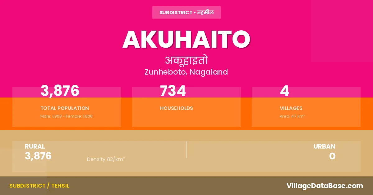
Akuhaito is a town and Circle in the Zunheboto district of the Nagaland. In India, a Circle is a subdivision of a district responsible for the administration and revenue collection of a specific area within the district. Circles play a crucial role in the local governance structure, contributing significantly to the development and administration of their communities.
According to the 2011 census The total area of Akuhaito Circle is 47 km², with a population of 3876 people. The population density is 82 inhabitants per square kilometre, and there are approximately 734 houses in the sub district.
Akuhaito Circle comprises about 4 villages. Below is a list of these villages along with information about their respective gram panchayats and the nearest town:
| # | Village Name | Gram Panchayat | Nearest Town |
|---|---|---|---|
| 1 | Akuhaito Eac Hq | Zunheboto (40 km) | |
| 2 | Khrimtomi | Zunheboto (41 km) | |
| 3 | Philimi | Zunheboto (48 km) | |
| 4 | Roto | Zunheboto (35 km) |
The population is distributed between urban and rural areas as follows:
| Particulars | Rural | Urban | Total |
|---|---|---|---|
| Total Population | 3876 | 0 | 3876 |
| Male Population | 1988 | 0 | 1988 |
| Female Population | 1888 | 0 | 1888 | Population Density | 82 / km² | 82 / km² |
The distribution of households in the Akuhaito is:
| Rural Households | Urban Households | Total Households |
|---|---|---|
| 734 | 0 | 734 |
Q: What is Akuhaito?
A: Akuhaito is a town and in the Zunheboto district of the Nagaland.
Q: What is the total area of Akuhaito Circle?
A: The total area of Akuhaito Circle is 47 km².
Q: What is the population of Akuhaito Circle according to the 2011 census?
A: According to the 2011 census, the population of Akuhaito Circle is 3876.
Q: What is the population density of Akuhaito Circle?
A: The population density of Akuhaito Circle is 82 inhabitants per square kilometre.
Q: How many houses are there in Akuhaito Circle?
A: There are approximately 734 houses in Akuhaito Circle.
Q: How many villages are there in Akuhaito Circle?
A: There are about 4 villages in Akuhaito Circle.
Q: Which is the largest village by population in Akuhaito Circle?
A: The largest village by population in Akuhaito Circle is Roto, with 697 people.
Q: Which is the smallest village by population in Akuhaito Circle?
A: The smallest village by population in Akuhaito Circle is Akuhaito Eac Hq, with 507 people.
Q: Which is the largest village by area in Akuhaito Circle?
A: The largest village by area in Akuhaito Circle is Khrimtomi, with 6100 km².
Q: Which is the smallest village by area in Akuhaito Circle?
A: The smallest village by area in Akuhaito Circle is Akuhaito Eac Hq, with 0 km².
Q: What is the population distribution between urban and rural areas in Akuhaito Circle?
A: The population distribution in Akuhaito Circle is entirely rural, with a total rural population of 3876.
Q: What is the male population of Akuhaito Circle?
A: The male population of Akuhaito Circle is 1988.
Q: What is the female population of Akuhaito Circle?
A: The female population of Akuhaito Circle is 1888.
Q: How is the household distribution in Akuhaito Circle?
A: The household distribution in Akuhaito Circle is entirely rural, with a total of 734 households.
Q: How many villages in Akuhaito Circle have a population between 500 and 999?
A: There are 4 villages in Akuhaito Circle with a population between 500 and 999.
| Total Population | Villages in Sub District Of Akuhaito |
|---|---|
| 500-999 | 4 |