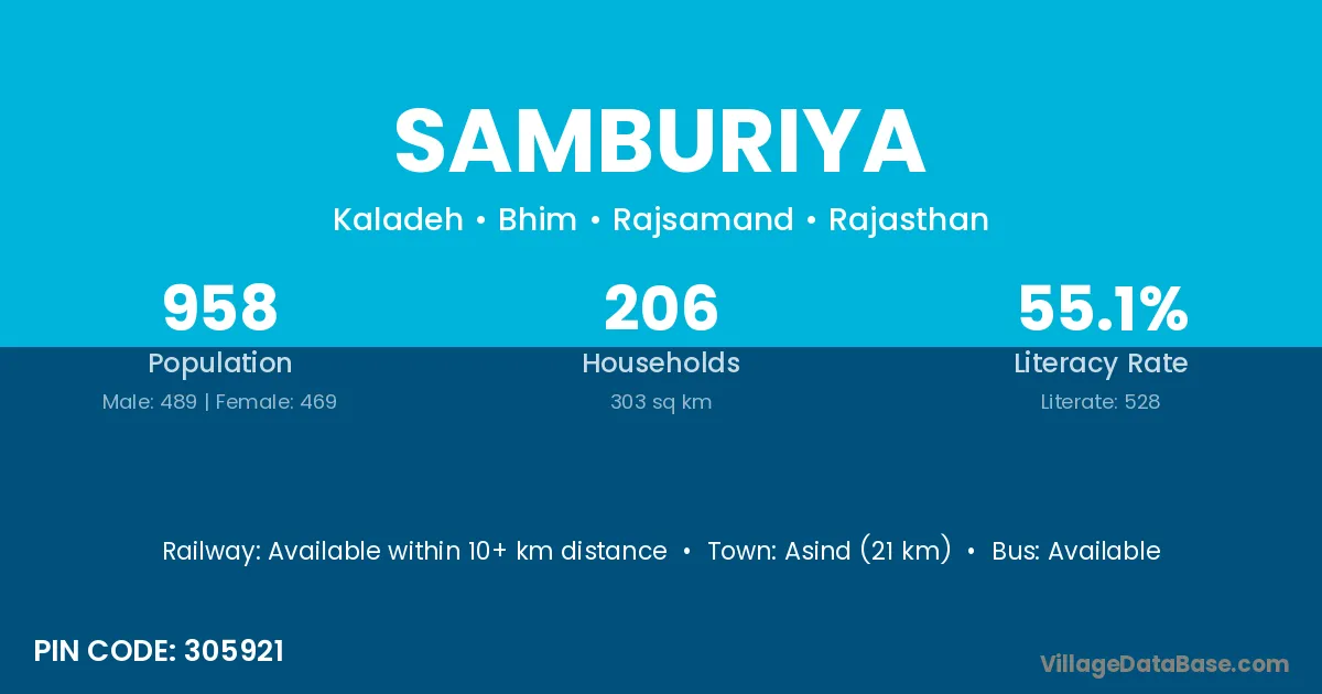
Samburiya village is located in the Bhim Tehsil of the Rajsamand district in Rajasthan .
Block / Tehsil → Bhim
District → Rajsamand
State → Rajasthan
According to Census 2011 information, the village code of Samburiya village is 305921.
Samburiya village has a total population of 958 people, of which 489 are males and 469 are females.
The literacy rate of Samburiya village is 55.11%. Male literacy stands at 69.12% and female literacy at 40.51%.
There are approximately 206 households in Samburiya village.
Asind (21 km) is the nearest town to Samburiya village for major economic activities and is located approximately 21 km away.
The population of Samburiya village is distributed between literate and illiterate residents as follows:
| Particulars | Male | Female | Total |
|---|---|---|---|
| Literate | 338 | 190 | 528 |
| Illiterate | 151 | 279 | 430 |
| Total | 489 | 469 | 958 |
Source: Census 2011
| Village | District |
|---|---|
| Amner | Raipur |
| Amner | Amravati |
| Amner | Rajsamand |
| Balato Ki Gawar | Rajsamand |
| Bheel Khera | Jhalawar |
| Bheel Khera | Jhalawar |
| Bheel Khera | Rajsamand |
| Dhoti | Latehar |
| Dhoti | Shajapur |
| Dhoti | Sheopur |
| Dhoti | Jagatsinghapur |
| Dhoti | Baran |
| Dhoti | Kota |
| Dhoti | Rajsamand |
| Dhoti | Nizamabad |
| Doongaji Ka Gaon | Rajsamand |
| Godaji Ka Gaon | Rajsamand |
| Kaladeh | Dewas |
| Kaladeh | Rajsamand |
| Kalaliya | Ratlam |
| Kalaliya | Ratlam |
| Kalaliya | Pali |
| Kalaliya | Rajsamand |
| Kundal Ki Guaar | Rajsamand |
| Nandawat | Rajsamand |
| Togi | Rajsamand |
No reviews yet. Be the first to review this village!
Available within 10+ km distance
Available within village
Available within village