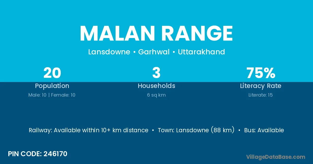
Malan Range village is located in the Lansdowne Tehsil of the Garhwal district in Uttarakhand .
Block / Tehsil → Lansdowne
District → Garhwal
State → Uttarakhand
According to Census 2011 information, the village code of Malan Range village is 246170.
Malan Range village has a total population of 20 people, of which 10 are males and 10 are females.
The literacy rate of Malan Range village is 75.00%. Male literacy stands at 70.00% and female literacy at 80.00%.
There are approximately 3 households in Malan Range village.
Lansdowne (88 km) is the nearest town to Malan Range village for major economic activities and is located approximately 88 km away.
The population of Malan Range village is distributed between literate and illiterate residents as follows:
| Particulars | Male | Female | Total |
|---|---|---|---|
| Literate | 7 | 8 | 15 |
| Illiterate | 3 | 2 | 5 |
| Total | 10 | 10 | 20 |
Source: Census 2011
| Village | District |
|---|---|
| Akhori | Garhwal |
| Akhori | Tehri Garhwal |
| Bhali Lagga Barsuri | Garhwal |
| Dabrad Range | Garhwal |
| Dashmiri Range | Garhwal |
| F 3 | Chamoli |
| F 3 | Chamoli |
| F 3 | Chamoli |
| F 3 | Garhwal |
| Kura Range | Garhwal |
| Palkot Range | Garhwal |
| Plain Range | Garhwal |
| Silri | Kaimur |
| Silri | Bageshwar |
| Silri | Garhwal |
| Sural Gaon | Garhwal |
| Sural Gaon | Garhwal |
| Sural Gaon | Garhwal |
| Sural Gaon | Nainital |
| Utain Range | Garhwal |
No reviews yet. Be the first to review this village!
Available within 10+ km distance
Available within 5 - 10 km distance
Available within 5 - 10 km distance