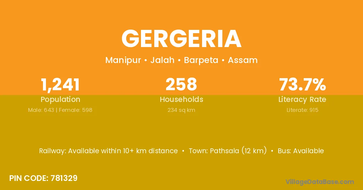
Gergeria village is located in the Jalah Subdivision of the Barpeta district in Assam .
Block / Subdivision → Jalah
District → Barpeta
State → Assam
According to Census 2011 information, the village code of Gergeria village is 781329.
Gergeria village has a total population of 1,241 people, of which 643 are males and 598 are females.
The literacy rate of Gergeria village is 73.73%. Male literacy stands at 79.63% and female literacy at 67.39%.
There are approximately 258 households in Gergeria village.
Pathsala (12 km) is the nearest town to Gergeria village for major economic activities and is located approximately 12 km away.
The population of Gergeria village is distributed between literate and illiterate residents as follows:
| Particulars | Male | Female | Total |
|---|---|---|---|
| Literate | 512 | 403 | 915 |
| Illiterate | 131 | 195 | 326 |
| Total | 643 | 598 | 1,241 |
Source: Census 2011
| Village | District |
|---|---|
| Akaya | Dibang Valley |
| Akaya | Barpeta |
| Akaya | Khargone |
| Bar Manikpur | Barpeta |
| Barhaitari | Morigaon |
| Burha Mayang Parvat | Morigaon |
| Chaibari | Baksa |
| Chaibari | Barpeta |
| Chaibari | Dhubri |
| Chaibari | Goalpara |
| Chaibari | Udalguri |
| Chaibari | Basti |
| Chanaka | Morigaon |
| Chanaka | Junagadh |
| Chanaka | Wokha |
| Chemtia | Barpeta |
| Dakshin Rehabari | Barpeta |
| Doisingri | Barpeta |
| Gamariguri | Morigaon |
| Pub Kathal Muri | Barpeta |
No reviews yet. Be the first to review this village!
Available within 10+ km distance
Available within <5 km distance
Available within <5 km distance