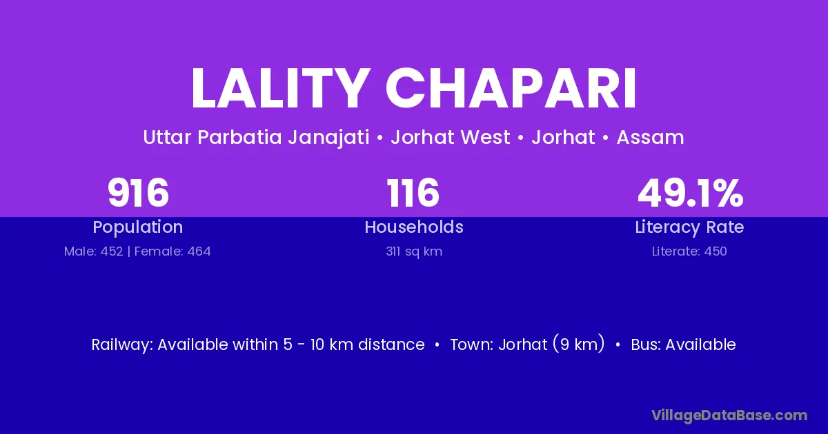
Lality Chapari village is located in the Jorhat West Subdivision of the Jorhat district in Assam .
Block / Subdivision → Jorhat West
District → Jorhat
State → Assam
Lality Chapari village has a total population of 916 people, of which 452 are males and 464 are females.
The literacy rate of Lality Chapari village is 49.13%. Male literacy stands at 54.20% and female literacy at 44.18%.
There are approximately 116 households in Lality Chapari village.
Jorhat (9 km) is the nearest town to Lality Chapari village for major economic activities and is located approximately 9 km away.
The population of Lality Chapari village is distributed between literate and illiterate residents as follows:
| Particulars | Male | Female | Total |
|---|---|---|---|
| Literate | 245 | 205 | 450 |
| Illiterate | 207 | 259 | 466 |
| Total | 452 | 464 | 916 |
Source: Census 2011
| Village | District |
|---|---|
| Bahfalla Gaon | Jorhat |
| Bokora Miri | Jorhat |
| Bormukoli | Jorhat |
| Chinaichuck | Jorhat |
| Deuri No 2 | Jorhat |
| Dhankhuloi Gaon | Jorhat |
| Dhemaji Gaon | Jorhat |
| Dhemaji Gaon | Nagaon |
| Dhemaji Gaon | Nagaon |
| Gual Gaon | Jorhat |
| Kalbari Gaon | Jorhat |
| Kalia Chuck | Jorhat |
| Neul Gaon | Jorhat |
No reviews yet. Be the first to review this village!
Available within 5 - 10 km distance
Available within <5 km distance
Available within village