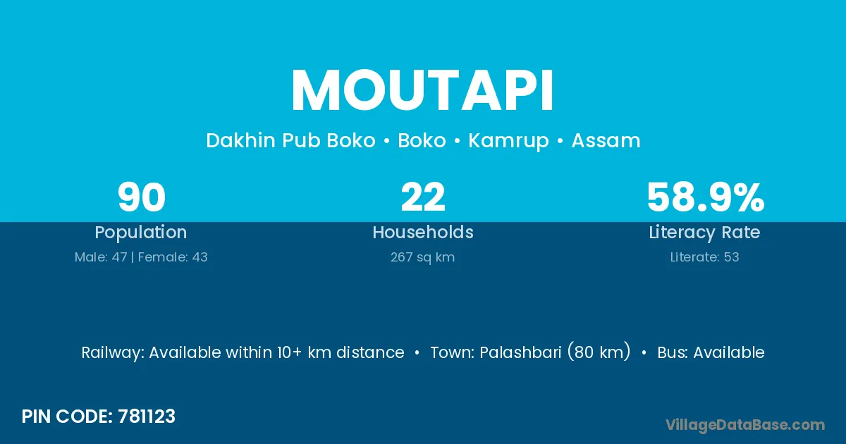
Moutapi village is located in the Boko Subdivision of the Kamrup district in Assam .
Block / Subdivision → Boko
District → Kamrup
State → Assam
According to Census 2011 information, the village code of Moutapi village is 781123.
Moutapi village has a total population of 90 people, of which 47 are males and 43 are females.
The literacy rate of Moutapi village is 58.89%. Male literacy stands at 65.96% and female literacy at 51.16%.
There are approximately 22 households in Moutapi village.
Palashbari (80 km) is the nearest town to Moutapi village for major economic activities and is located approximately 80 km away.
The population of Moutapi village is distributed between literate and illiterate residents as follows:
| Particulars | Male | Female | Total |
|---|---|---|---|
| Literate | 31 | 22 | 53 |
| Illiterate | 16 | 21 | 37 |
| Total | 47 | 43 | 90 |
Source: Census 2011
| Village | District |
|---|---|
| Dakhalai | Kamrup |
| Harsa Nagar | Kamrup |
| Khatla | Kamrup |
| Khatla | Jind |
| Khatla | Burhanpur |
| Lower Lumpi | Kamrup |
| Mokebari | Kamrup |
| Nangapam | Kamrup |
| Omiup | Kamrup |
| Simila | Baksa |
| Simila | Kamrup |
| Simila | Mayurbhanj |
| Somerang | Kamrup |
| Umtap | Kamrup |
| Umtap | West Khasi Hills |
| Upper Lumpi | Kamrup |
No reviews yet. Be the first to review this village!
Available within 10+ km distance
Available within 10+ km distance
Available within 5 - 10 km distance