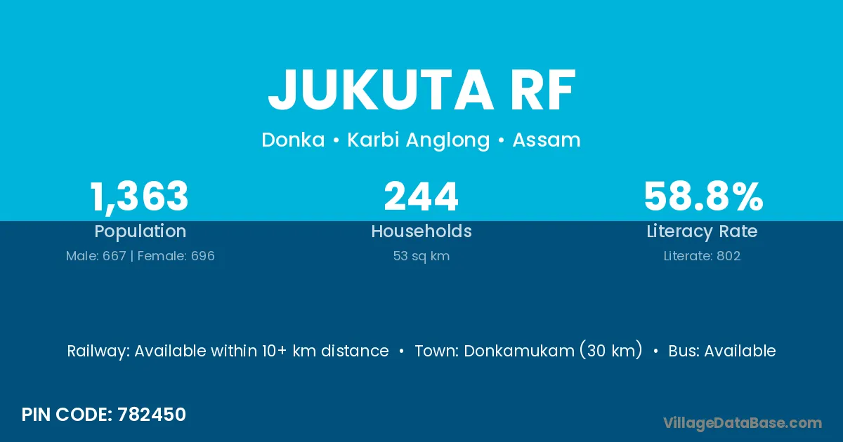
Jukuta Rf village is located in the Donka Subdivision of the Karbi Anglong district in Assam .
Block / Subdivision → Donka
District → Karbi Anglong
State → Assam
According to Census 2011 information, the village code of Jukuta Rf village is 782450.
Jukuta Rf village has a total population of 1,363 people, of which 667 are males and 696 are females.
The literacy rate of Jukuta Rf village is 58.84%. Male literacy stands at 64.77% and female literacy at 53.16%.
There are approximately 244 households in Jukuta Rf village.
Donkamukam (30 km) is the nearest town to Jukuta Rf village for major economic activities and is located approximately 30 km away.
The population of Jukuta Rf village is distributed between literate and illiterate residents as follows:
| Particulars | Male | Female | Total |
|---|---|---|---|
| Literate | 432 | 370 | 802 |
| Illiterate | 235 | 326 | 561 |
| Total | 667 | 696 | 1,363 |
Source: Census 2011
| Village | District |
|---|---|
| Amsolong R F | Karbi Anglong |
| Banai Rf | Karbi Anglong |
| Chinong Kadai | Karbi Anglong |
| Hai Artu Rf | Karbi Anglong |
| Hanthor Gaon Rf | Karbi Anglong |
| Hanthor Teron Rf | Karbi Anglong |
| Lang Makang | Karbi Anglong |
| Mane Teron Gaon | Karbi Anglong |
| Rongkhana Rf | Karbi Anglong |
| Sinai Nadi R F | Karbi Anglong |
| Tmulbari Rf | Karbi Anglong |
No reviews yet. Be the first to review this village!
Available within 10+ km distance
Available within 10+ km distance
Available within 10+ km distance