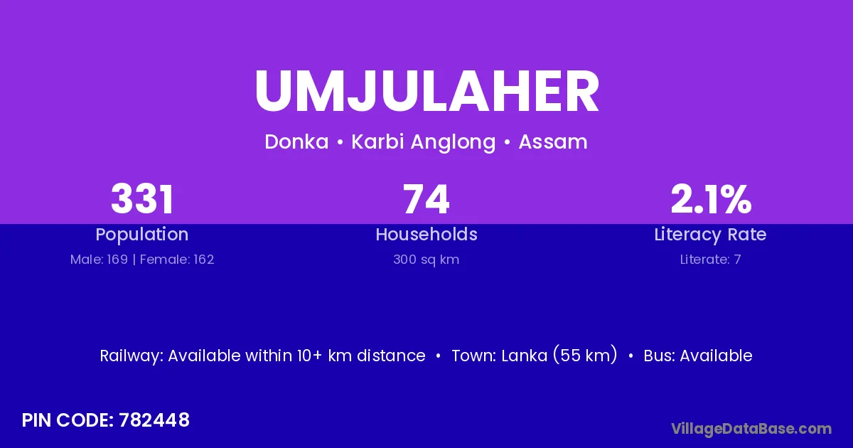
Umjulaher village is located in the Donka Subdivision of the Karbi Anglong district in Assam .
Block / Subdivision → Donka
District → Karbi Anglong
State → Assam
According to Census 2011 information, the village code of Umjulaher village is 782448.
Umjulaher village has a total population of 331 people, of which 169 are males and 162 are females.
The literacy rate of Umjulaher village is 2.11%. Male literacy stands at 2.96% and female literacy at 1.23%.
There are approximately 74 households in Umjulaher village.
Lanka (55 km) is the nearest town to Umjulaher village for major economic activities and is located approximately 55 km away.
The population of Umjulaher village is distributed between literate and illiterate residents as follows:
| Particulars | Male | Female | Total |
|---|---|---|---|
| Literate | 5 | 2 | 7 |
| Illiterate | 164 | 160 | 324 |
| Total | 169 | 162 | 331 |
Source: Census 2011
| Village | District |
|---|---|
| Amlong | Karbi Anglong |
| Denglier | Karbi Anglong |
| Khindeliar | Karbi Anglong |
| Komalongjon | Karbi Anglong |
| Lamarang | Karbi Anglong |
| Lumsajar | Karbi Anglong |
| Morap | Karbi Anglong |
| Muriap | Karbi Anglong |
| Muriap | Jaintia Hills |
| Sarucha | Karbi Anglong |
| Umta Ap | Karbi Anglong |
| Upilangso | Karbi Anglong |
No reviews yet. Be the first to review this village!
Available within 10+ km distance
Available within 10+ km distance
Available within 10+ km distance