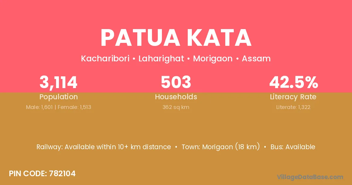
Patua Kata village is located in the Laharighat Subdivision of the Morigaon district in Assam .
Block / Subdivision → Laharighat
District → Morigaon
State → Assam
According to Census 2011 information, the village code of Patua Kata village is 782104.
Patua Kata village has a total population of 3,114 people, of which 1,601 are males and 1,513 are females.
The literacy rate of Patua Kata village is 42.45%. Male literacy stands at 45.60% and female literacy at 39.13%.
There are approximately 503 households in Patua Kata village.
Morigaon (18 km) is the nearest town to Patua Kata village for major economic activities and is located approximately 18 km away.
The population of Patua Kata village is distributed between literate and illiterate residents as follows:
| Particulars | Male | Female | Total |
|---|---|---|---|
| Literate | 730 | 592 | 1,322 |
| Illiterate | 871 | 921 | 1,792 |
| Total | 1,601 | 1,513 | 3,114 |
Source: Census 2011
| Village | District |
|---|---|
| Barchala Gaon | Morigaon |
| Borchala Pathar | Morigaon |
| Garaimari | Golaghat |
| Garaimari | Morigaon |
| Garaimari | Nagaon |
| Garaimari | Udalguri |
| Garaimari | Murshidabad |
| Garaimari | Murshidabad |
| Laharipam | Morigaon |
| Lalaibori | Morigaon |
| Mahmara Bill | Morigaon |
| Nagabandha | Morigaon |
| No 1 Rangrai | Morigaon |
| Palahjuri | Morigaon |
| Saruchala | Morigaon |
| Sitolimari Gaon | Morigaon |
No reviews yet. Be the first to review this village!
Available within 10+ km distance
Available within village
Available within 10+ km distance