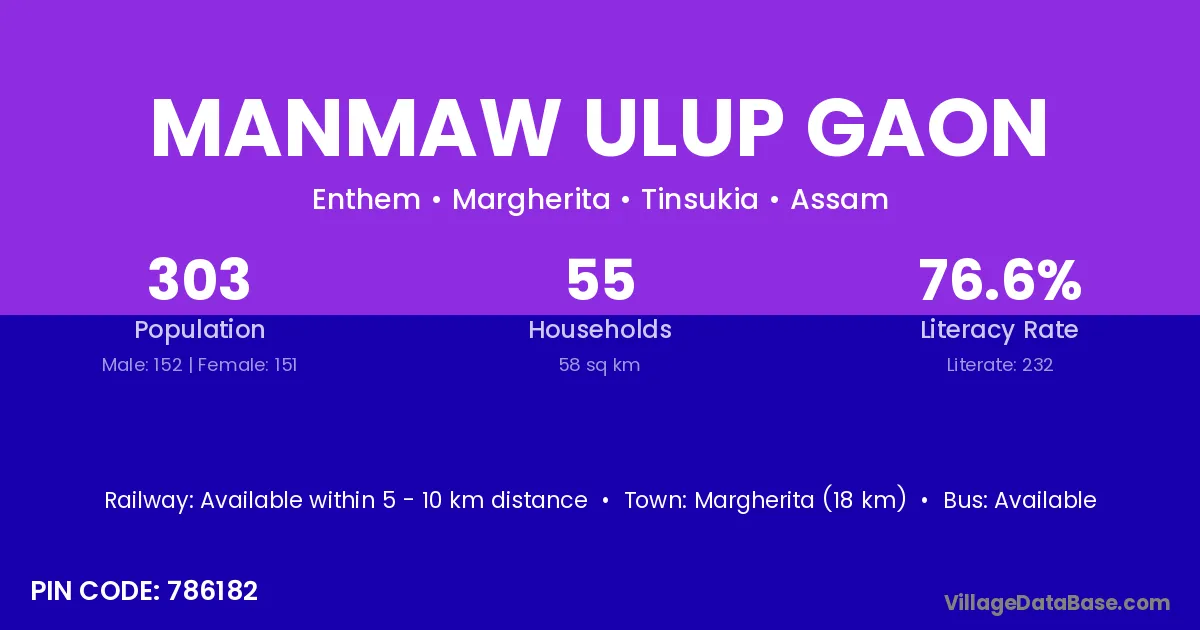
Manmaw Ulup Gaon village is located in the Margherita Subdivision of the Tinsukia district in Assam .
Block / Subdivision → Margherita
District → Tinsukia
State → Assam
According to Census 2011 information, the village code of Manmaw Ulup Gaon village is 786182.
Manmaw Ulup Gaon village has a total population of 303 people, of which 152 are males and 151 are females.
The literacy rate of Manmaw Ulup Gaon village is 76.57%. Male literacy stands at 79.61% and female literacy at 73.51%.
There are approximately 55 households in Manmaw Ulup Gaon village.
Margherita (18 km) is the nearest town to Manmaw Ulup Gaon village for major economic activities and is located approximately 18 km away.
The population of Manmaw Ulup Gaon village is distributed between literate and illiterate residents as follows:
| Particulars | Male | Female | Total |
|---|---|---|---|
| Literate | 121 | 111 | 232 |
| Illiterate | 31 | 40 | 71 |
| Total | 152 | 151 | 303 |
Source: Census 2011
| Village | District |
|---|---|
| Hahchara Pathar | Tinsukia |
| Long Gaon | Tinsukia |
| Long Tikhak | Tinsukia |
| Maichang Pathar | Tinsukia |
| Manmaw Gaon | Tinsukia |
| Manmaw Maichang N C | Tinsukia |
| Manmaw Pathar | Tinsukia |
| Manmaw Ulup N C | Tinsukia |
| Pani Gaon | Karbi Anglong |
| Pani Gaon | Lakhimpur |
| Pani Gaon | Nagaon |
| Pani Gaon | Nagaon |
| Pani Gaon | Tinsukia |
| Pani Gaon | Uttarkashi |
| Tokow Pathar | Tinsukia |
| Ulup Pathar | Tinsukia |
No reviews yet. Be the first to review this village!
Available within 5 - 10 km distance
Available within 10+ km distance
Available within 10+ km distance