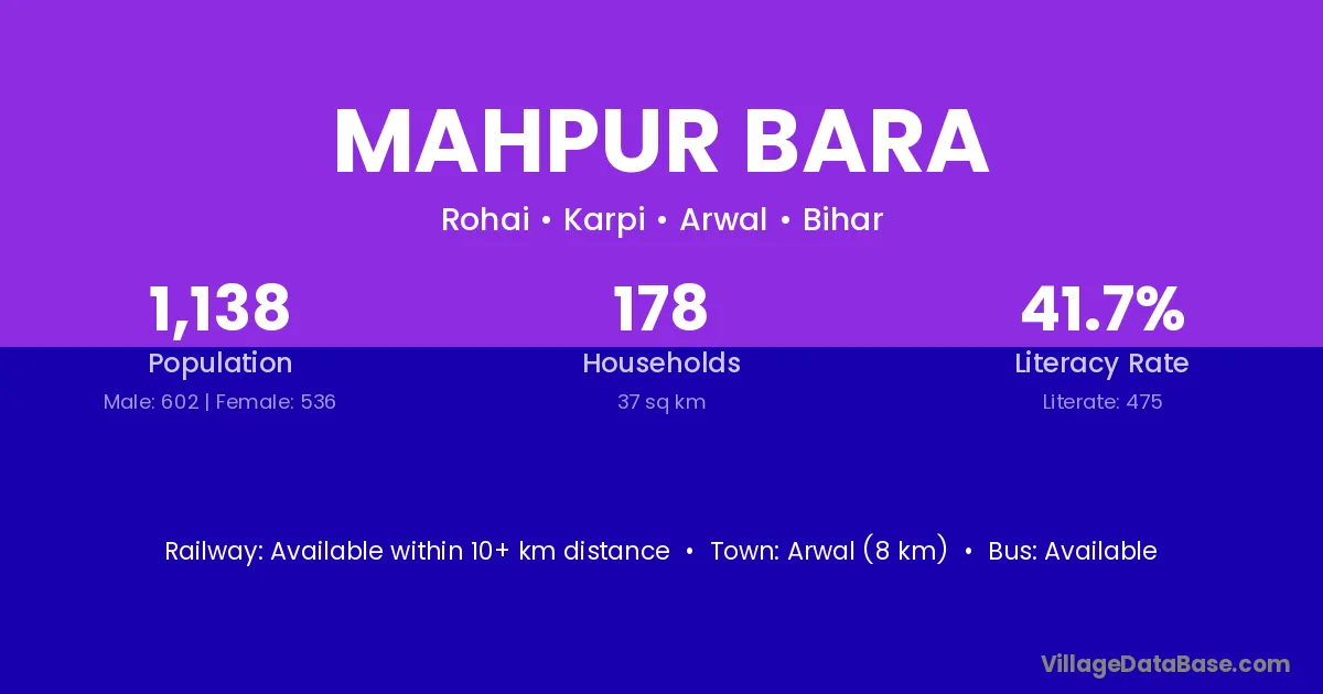
Mahpur Bara village is located in the Karpi Subdivision of the Arwal district in Bihar .
Block / Subdivision → Karpi
District → Arwal
State → Bihar
Mahpur Bara village has a total population of 1,138 people, of which 602 are males and 536 are females.
The literacy rate of Mahpur Bara village is 41.74%. Male literacy stands at 52.99% and female literacy at 29.10%.
There are approximately 178 households in Mahpur Bara village.
Arwal (8 km) is the nearest town to Mahpur Bara village for major economic activities and is located approximately 8 km away.
The population of Mahpur Bara village is distributed between literate and illiterate residents as follows:
| Particulars | Male | Female | Total |
|---|---|---|---|
| Literate | 319 | 156 | 475 |
| Illiterate | 283 | 380 | 663 |
| Total | 602 | 536 | 1,138 |
Source: Census 2011
| Village | District |
|---|---|
| Bakhtari | Arwal |
| Bakhtari | Panna |
| Bara Nathu | Arwal |
| Chauhar | Arwal |
| Durra | Arwal |
| Katesar | Arwal |
| Katesar | Muzaffarpur |
| Katesar | Patna |
| Katesar | Basti |
| Katesar | Chandauli |
| Katesar | Sitapur |
| Kutubpur Tera | Arwal |
| Mahmadpur Bara | Arwal |
| Manjhupur | Arwal |
| Manjhupur | Bhojpur |
| Manjhupur | Bara Banki |
| Manjhupur | Fatehpur |
| Pachkesar | Arwal |
| Rasulpur Tetara | Arwal |
| Rohai | Arwal |
| Rohai | Dhaulpur |
| Rohai | Hardoi |
| Rohai | Mahamaya Nagar |
No reviews yet. Be the first to review this village!
Available within 10+ km distance
Available within 5 - 10 km distance
Available within village