Welcome Back

Forgot password?
Don't have an account?
🏘️ Menu
Badgam District 0.0 / 5 (0)

Zabgala Village Detailed Information

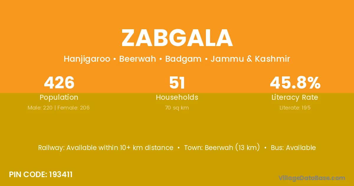
Zabgala village is located in the Beerwah Tehsil of the Badgam district in Jammu & Kashmir .

About Zabgala Village

Block / Tehsil → Beerwah

District → Badgam

State → Jammu & Kashmir

According to Census 2011 information, the village code of Zabgala village is 193411.

Zabgala village has a total population of 426 people, of which 220 are males and 206 are females.

The literacy rate of Zabgala village is 45.77%. Male literacy stands at 54.55% and female literacy at 36.41%.

There are approximately 51 households in Zabgala village.

Beerwah (13 km) is the nearest town to Zabgala village for major economic activities and is located approximately 13 km away.

Population of Zabgala Village

The population of Zabgala village is distributed between literate and illiterate residents as follows:

Population distribution of Zabgala village by literacy and gender
Particulars Male Female Total
Literate 120 75 195
Illiterate 100 131 231
Total 220 206 426

Source: Census 2011

Nearby Villages

List of nearby villages around Zabgala village
Village District
Forest Block Anantnag
Alam Guchoo Badgam
Dachan Badgam
Forest Block Badgam
Gunj Lal Pora Badgam
Haranj Garoo Badgam
Mashun Badgam
Pandow Pora Badgam
Pethkoot Badgam
Forest Block Badgam
Chak Hokalatri Badgam
Forest Block Badgam
Hokalatri Badgam
Kule Hama Badgam
Forest Block Bandipore
Forest Block Baramula
Forest Block Doda
Forest Block Doda
Forest Block Doda
Forest Block Doda
Forest Block Ganderbal
Forest Block Kathua
Forest Block Kathua
Forest Block Kathua
Forest Block Kishtwar
Forest Block Kulgam
Forest Block Kupwara
Forest Block Punch
Forest Block Punch
Forest Block Rajouri
Forest Block Ramban
Forest Block Ramban
Forest Block Reasi
Forest Block Udhampur
Forest Block Purbi Singhbhum
Forest Block Saraikela Kharsawan
Forest Block Chittaurgarh

Frequently Asked Questions

Zabgala village is located in the Beerwah Tehsil of the Badgam district in Jammu & Kashmir.
The total population is 426 people.
220 males and 206 females.
The literacy rate is 45.77%.
Male literacy rate is 54.55%, and female literacy rate is 36.41%.
There are approximately 51 houses in Zabgala village.
Beerwah (13 km) is the nearest town, located approximately 13 km away.

Reviews and Ratings

0.0 / 5 (0 reviews)

Reviews

No reviews yet. Be the first to review this village!

Zabgala Village Statistics

Population
426
Area
70 km²
Households
51
Nearest Town :
Beerwah (13 km)

Quick Information

State / UT : Jammu & Kashmir
Pincode : 193411
Total Area : 70 km²
Population : 426
Households : 51
Gram Panchayat : Hanjigaroo
Nearest Town : Beerwah (13 km)

Connectivity of Zabgala

🚂 Railway Station

Available within 10+ km distance

🚌 Public Bus Service

Available within village

🚌 Private Bus Service

Available within village

Need Help?

Contact local tourism office for assistance