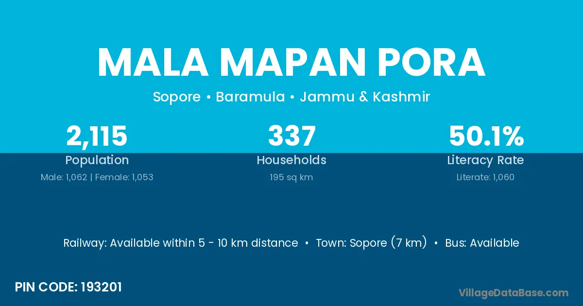
Mala Mapan Pora village is located in the Sopore Tehsil of the Baramula district in Jammu & Kashmir .
Block / Tehsil → Sopore
District → Baramula
State → Jammu & Kashmir
According to Census 2011 information, the village code of Mala Mapan Pora village is 193201.
Mala Mapan Pora village has a total population of 2,115 people, of which 1,062 are males and 1,053 are females.
The literacy rate of Mala Mapan Pora village is 50.12%. Male literacy stands at 58.29% and female literacy at 41.88%.
There are approximately 337 households in Mala Mapan Pora village.
Sopore (7 km) is the nearest town to Mala Mapan Pora village for major economic activities and is located approximately 7 km away.
The population of Mala Mapan Pora village is distributed between literate and illiterate residents as follows:
| Particulars | Male | Female | Total |
|---|---|---|---|
| Literate | 619 | 441 | 1,060 |
| Illiterate | 443 | 612 | 1,055 |
| Total | 1,062 | 1,053 | 2,115 |
Source: Census 2011
| Village | District |
|---|---|
| Botingu | Baramula |
| Bumai | Baramula |
| Doru | Badgam |
| Doru | Badgam |
| Doru | Baramula |
| Gori Pora Dara Pora | Baramula |
| Hasmat Pora | Baramula |
| Logri Pora | Anantnag |
| Logri Pora | Baramula |
| Magri Pora | Anantnag |
| Magri Pora | Baramula |
| Mandji | Baramula |
| Sem Pora | Baramula |
| Wadura | Baramula |
| Wadura | Amravati |
| Wadura | Amravati |
| Wadura | Amravati |
| Wadura | Amravati |
| Wadura | Amravati |
| Wadura | Amravati |
| Watlab | Baramula |
No reviews yet. Be the first to review this village!
Available within 5 - 10 km distance
Available within <5 km distance
Available within village