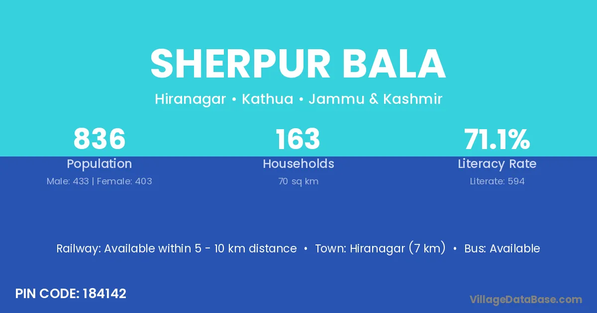
Sherpur Bala village is located in the Hiranagar Tehsil of the Kathua district in Jammu & Kashmir .
Block / Tehsil → Hiranagar
District → Kathua
State → Jammu & Kashmir
According to Census 2011 information, the village code of Sherpur Bala village is 184142.
Sherpur Bala village has a total population of 836 people, of which 433 are males and 403 are females.
The literacy rate of Sherpur Bala village is 71.05%. Male literacy stands at 75.52% and female literacy at 66.25%.
There are approximately 163 households in Sherpur Bala village.
Hiranagar (7 km) is the nearest town to Sherpur Bala village for major economic activities and is located approximately 7 km away.
The population of Sherpur Bala village is distributed between literate and illiterate residents as follows:
| Particulars | Male | Female | Total |
|---|---|---|---|
| Literate | 327 | 267 | 594 |
| Illiterate | 106 | 136 | 242 |
| Total | 433 | 403 | 836 |
Source: Census 2011
| Village | District |
|---|---|
| Allu Chak | Kathua |
| Behri | Madhepura |
| Behri | Pashchim Champaran |
| Behri | Kathua |
| Behri | Agra |
| Chak Jahlla | Kathua |
| Chak Sukhu | Kathua |
| Feru Chak | Kathua |
| Jandi | Kathua |
| Jandi | Godda |
| Jandi | Gurdaspur |
| Jandi | Hoshiarpur |
| Jandi | Ludhiana |
| Jandi | Shahid Bhagat Singh Nagar |
| Kariyara | Kathua |
| Kariyara | Kheri |
| Katal Brahmanan | Kathua |
| Katal Gujran | Kathua |
| Muthi Hardo Dunga | Kathua |
| Thuthi Chak | Kathua |
No reviews yet. Be the first to review this village!
Available within 5 - 10 km distance
Available within village
Available within village