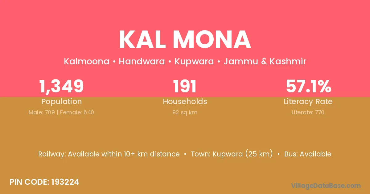
Kal Mona village is located in the Handwara Tehsil of the Kupwara district in Jammu & Kashmir .
Block / Tehsil → Handwara
District → Kupwara
State → Jammu & Kashmir
According to Census 2011 information, the village code of Kal Mona village is 193224.
Kal Mona village has a total population of 1,349 people, of which 709 are males and 640 are females.
The literacy rate of Kal Mona village is 57.08%. Male literacy stands at 63.75% and female literacy at 49.69%.
There are approximately 191 households in Kal Mona village.
Kupwara (25 km) is the nearest town to Kal Mona village for major economic activities and is located approximately 25 km away.
The population of Kal Mona village is distributed between literate and illiterate residents as follows:
| Particulars | Male | Female | Total |
|---|---|---|---|
| Literate | 452 | 318 | 770 |
| Illiterate | 257 | 322 | 579 |
| Total | 709 | 640 | 1,349 |
Source: Census 2011
| Village | District |
|---|---|
| Amar Garh | Baramula |
| Amar Garh | Kupwara |
| Amar Garh | Fatehgarh Sahib |
| Amar Garh | Sant Kabir Nagar |
| Cham Pora | Kupwara |
| Checki Bakshi | Kupwara |
| Cheer Kote | Kupwara |
| Dahama | Kupwara |
| Gundi Lasa Shah | Kupwara |
| Hafrada | Kupwara |
| Manz Gam | Badgam |
| Manz Gam | Kupwara |
| Pach Kote | Kupwara |
| Tumina | Kupwara |
| Wowri Pora | Kupwara |
No reviews yet. Be the first to review this village!
Available within 10+ km distance
Available within village
Available within village