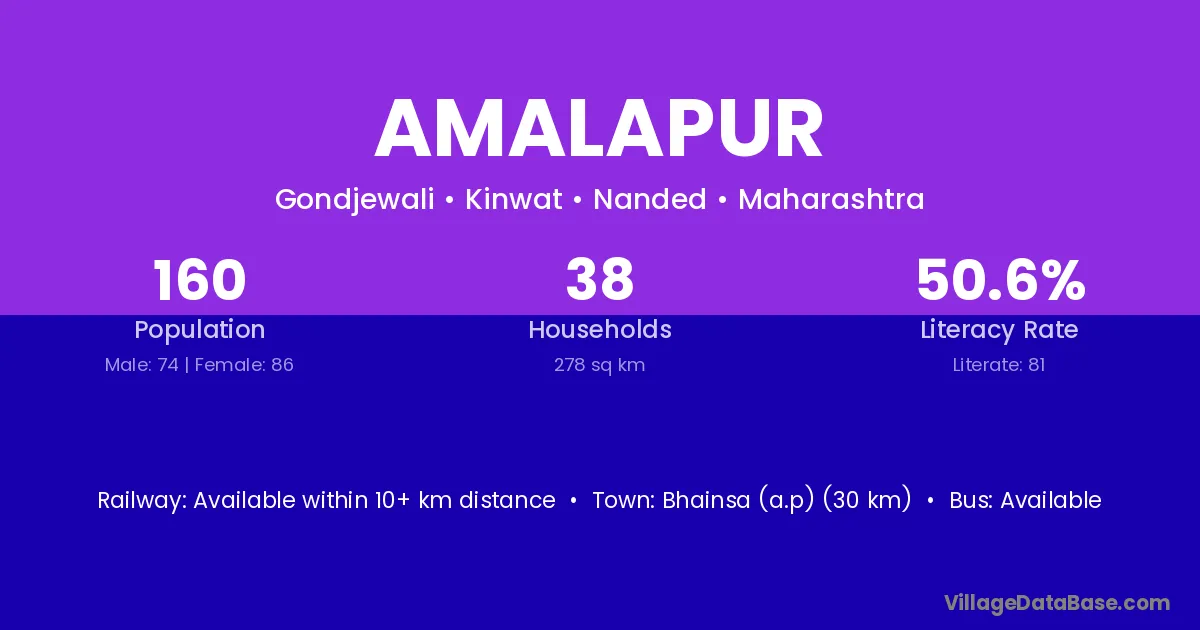
Amalapur village is located in the Kinwat Tehsil of the Nanded district in Maharashtra .
Block / Tehsil → Kinwat
District → Nanded
State → Maharashtra
Amalapur village has a total population of 160 people, of which 74 are males and 86 are females.
The literacy rate of Amalapur village is 50.63%. Male literacy stands at 60.81% and female literacy at 41.86%.
There are approximately 38 households in Amalapur village.
Bhainsa (a.p) (30 km) is the nearest town to Amalapur village for major economic activities and is located approximately 30 km away.
The population of Amalapur village is distributed between literate and illiterate residents as follows:
| Particulars | Male | Female | Total |
|---|---|---|---|
| Literate | 45 | 36 | 81 |
| Illiterate | 29 | 50 | 79 |
| Total | 74 | 86 | 160 |
Source: Census 2011
| Village | District |
|---|---|
| Andhbori | Nanded |
| Andhbori | Yavatmal |
| Apparao Peth | Nanded |
| Budhali | Katihar |
| Budhali | Amravati |
| Budhali | Nanded |
| Dolhari | Nanded |
| Dolhari | Yavatmal |
| Dolhari | Yavatmal |
| Gokunda | Nanded |
| Gokunda | Koch Bihar |
| Gondjevli | Nanded |
| Malkajam | Nanded |
| Marlaguda | Nanded |
| Pangar Pahad | Nanded |
| Phulenagar | Nanded |
| Phulenagar | Nashik |
| Sirpalli | Nanded |
No reviews yet. Be the first to review this village!
Available within 10+ km distance
Available within village
Available within 10+ km distance