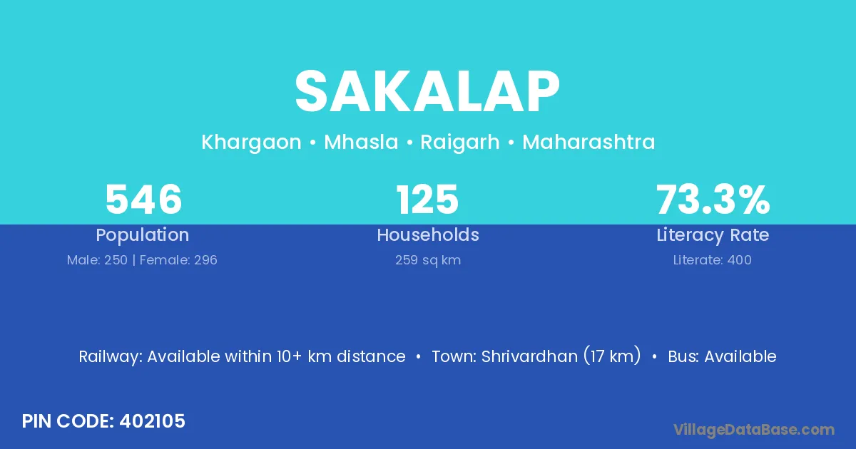
Sakalap village is located in the Mhasla Tehsil of the Raigarh district in Maharashtra .
Block / Tehsil → Mhasla
District → Raigarh
State → Maharashtra
According to Census 2011 information, the village code of Sakalap village is 402105.
Sakalap village has a total population of 546 people, of which 250 are males and 296 are females.
The literacy rate of Sakalap village is 73.26%. Male literacy stands at 79.60% and female literacy at 67.91%.
There are approximately 125 households in Sakalap village.
Shrivardhan (17 km) is the nearest town to Sakalap village for major economic activities and is located approximately 17 km away.
The population of Sakalap village is distributed between literate and illiterate residents as follows:
| Particulars | Male | Female | Total |
|---|---|---|---|
| Literate | 199 | 201 | 400 |
| Illiterate | 51 | 95 | 146 |
| Total | 250 | 296 | 546 |
Source: Census 2011
| Village | District |
|---|---|
| Agarwada | Panch Mahals |
| Agarwada | Panch Mahals |
| Agarwada | Panch Mahals |
| Agarwada | Balaghat |
| Agarwada | Balaghat |
| Agarwada | Seoni |
| Agarwada | Raigarh |
| Agarwada | Adilabad |
| Ghum | Raigarh |
| Jambhul | Pune |
| Jambhul | Raigarh |
| Jambhul | Thane |
| Kelte | Raigarh |
| Khargaon Kh | Raigarh |
| Newarul | Raigarh |
| Panave | Raigarh |
| Rudravat | Raigarh |
| Salvinde | Raigarh |
| Tondsure | Raigarh |
| Waravatne | Raigarh |
No reviews yet. Be the first to review this village!
Available within 10+ km distance
Available within village
Available within <5 km distance