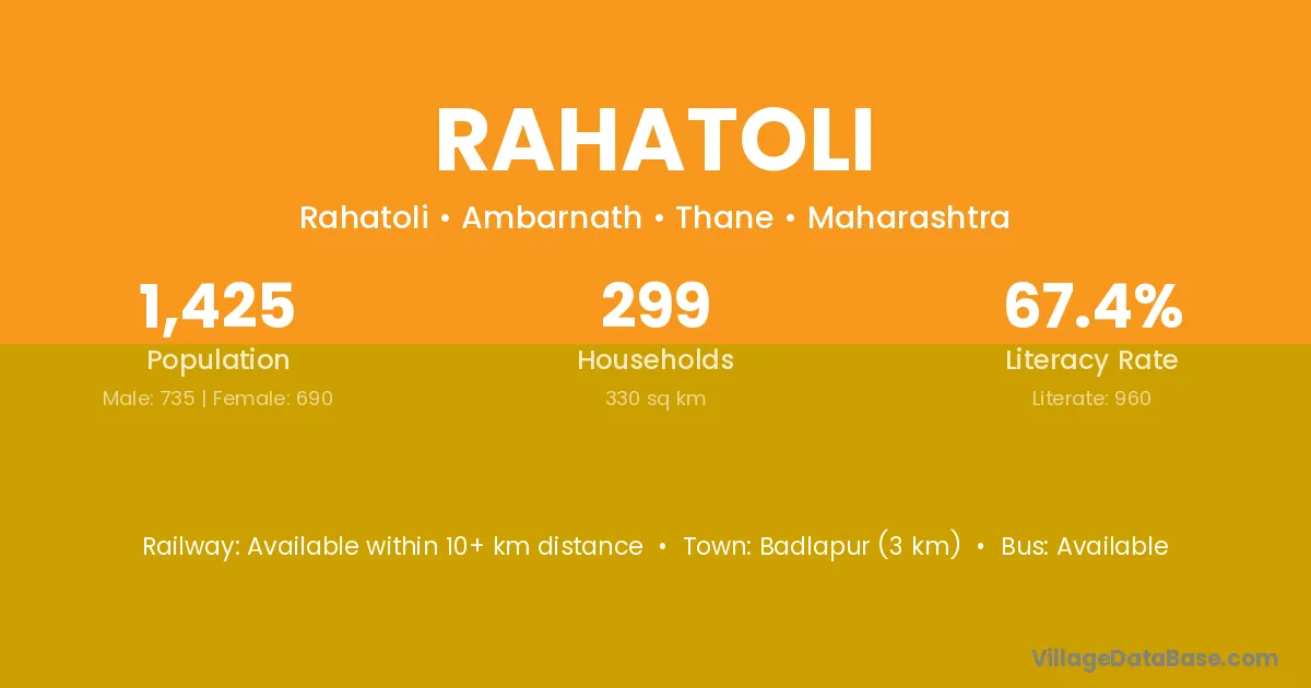
Rahatoli village is located in the Ambarnath Tehsil of the Thane district in Maharashtra .
Block / Tehsil → Ambarnath
District → Thane
State → Maharashtra
Rahatoli village has a total population of 1,425 people, of which 735 are males and 690 are females.
The literacy rate of Rahatoli village is 67.37%. Male literacy stands at 74.01% and female literacy at 60.29%.
There are approximately 299 households in Rahatoli village.
Badlapur (3 km) is the nearest town to Rahatoli village for major economic activities and is located approximately 3 km away.
The population of Rahatoli village is distributed between literate and illiterate residents as follows:
| Particulars | Male | Female | Total |
|---|---|---|---|
| Literate | 544 | 416 | 960 |
| Illiterate | 191 | 274 | 465 |
| Total | 735 | 690 | 1,425 |
Source: Census 2011
| Village | District |
|---|---|
| Ambeshiv Bk | Thane |
| Asnoli | Thane |
| Asnoli | Thane |
| Asnoli | Garhwal |
| Chandap | Sabar Kantha |
| Chandap | Thane |
| Chon | Thane |
| Dhoke | Thane |
| Padirpada | Thane |
| Pimploli | Raigarh |
| Pimploli | Thane |
| Sagaon | Raigarh |
| Sagaon | Sangli |
| Sagaon | Thane |
| Sagaon | Thane |
| Sagaon | Thane |
| Sonavale | Thane |
| Sonavale | Thane |
| Umbroli | Thane |
| Yeve | Thane |
No reviews yet. Be the first to review this village!
Available within 10+ km distance
Available within village
Available within 10+ km distance