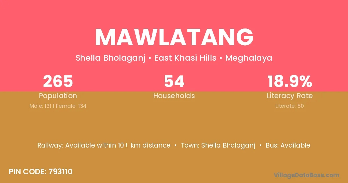
Mawlatang village is located in the Shella Bholaganj Subdivision of the East Khasi Hills district in Meghalaya .
Block / Subdivision → Shella Bholaganj
District → East Khasi Hills
State → Meghalaya
According to Census 2011 information, the village code of Mawlatang village is 793110.
Mawlatang village has a total population of 265 people, of which 131 are males and 134 are females.
The literacy rate of Mawlatang village is 18.87%. Male literacy stands at 19.08% and female literacy at 18.66%.
There are approximately 54 households in Mawlatang village.
Shella Bholaganj is the nearest town to Mawlatang village for major economic activities
The population of Mawlatang village is distributed between literate and illiterate residents as follows:
| Particulars | Male | Female | Total |
|---|---|---|---|
| Literate | 25 | 25 | 50 |
| Illiterate | 106 | 109 | 215 |
| Total | 131 | 134 | 265 |
Source: Census 2011
| Village | District |
|---|---|
| Khliehumlang | East Khasi Hills |
| Lad Ryngud | East Khasi Hills |
| Mawblang | East Khasi Hills |
| Mawblang | East Khasi Hills |
| Mawblang | Ribhoi |
| Mawshar | East Khasi Hills |
| Mawsiangei | East Khasi Hills |
| Mawsmai | East Khasi Hills |
| Mawsmai | Ribhoi |
| Mawsmai | West Khasi Hills |
| Mawsmai | West Khasi Hills |
| Nongla | East Khasi Hills |
| Nongthynmmai | East Khasi Hills |
| Tyrna | East Khasi Hills |
| Tyrngei | East Khasi Hills |
| Wah U Tim | East Khasi Hills |
No reviews yet. Be the first to review this village!
Available within 10+ km distance
Available within 5 - 10 km distance
Available within 5 - 10 km distance