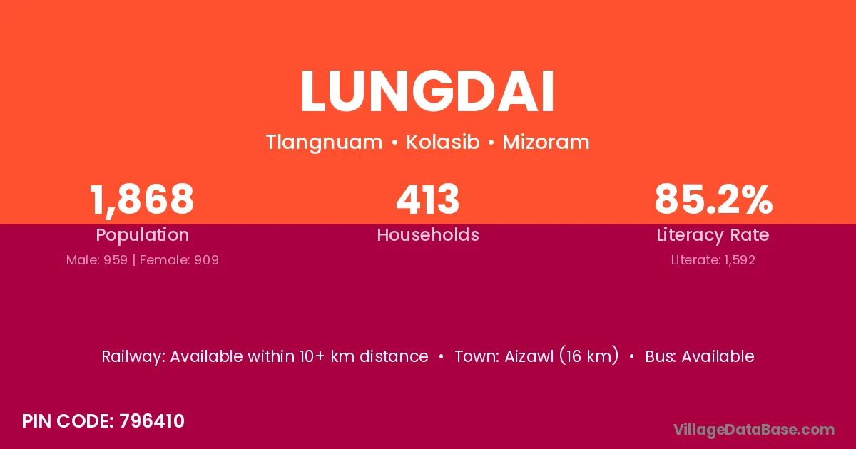
Lungdai village is located in the Tlangnuam Subdivision of the Kolasib district in Mizoram .
Block / Subdivision → Tlangnuam
District → Kolasib
State → Mizoram
According to Census 2011 information, the village code of Lungdai village is 796410.
Lungdai village has a total population of 1,868 people, of which 959 are males and 909 are females.
The literacy rate of Lungdai village is 85.22%. Male literacy stands at 85.09% and female literacy at 85.37%.
There are approximately 413 households in Lungdai village.
Aizawl (16 km) is the nearest town to Lungdai village for major economic activities and is located approximately 16 km away.
The population of Lungdai village is distributed between literate and illiterate residents as follows:
| Particulars | Male | Female | Total |
|---|---|---|---|
| Literate | 816 | 776 | 1,592 |
| Illiterate | 143 | 133 | 276 |
| Total | 959 | 909 | 1,868 |
Source: Census 2011
| Village | District |
|---|---|
| Bawnga Veng | Kolasib |
| Kani | Patan |
| Kani | Surat |
| Kani | Kodarma |
| Kani | Aizawl |
| Kani | Cuttack |
| Kani | Kendrapara |
| Kani | Alwar |
| Kani | Bharatpur |
| Mualkhang | Kolasib |
| N Tinghmun | Aizawl |
| Nisapui | Kolasib |
| Palsang | Aizawl |
| Sentlang | Kolasib |
| Serkhan | Kolasib |
| Upper Sakawrdai | Aizawl |
| Zohmun | Aizawl |
| Zohmun | Lunglei |
| Zokhawthiang | Aizawl |
No reviews yet. Be the first to review this village!
Available within 10+ km distance
Available within 10+ km distance
Available within 10+ km distance