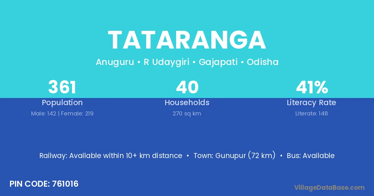
Tataranga village is located in the R Udaygiri Tehsil of the Gajapati district in Odisha .
Block / Tehsil → R Udaygiri
District → Gajapati
State → Odisha
According to Census 2011 information, the village code of Tataranga village is 761016.
Tataranga village has a total population of 361 people, of which 142 are males and 219 are females.
The literacy rate of Tataranga village is 41.00%. Male literacy stands at 61.27% and female literacy at 27.85%.
There are approximately 40 households in Tataranga village.
Gunupur (72 km) is the nearest town to Tataranga village for major economic activities and is located approximately 72 km away.
The population of Tataranga village is distributed between literate and illiterate residents as follows:
| Particulars | Male | Female | Total |
|---|---|---|---|
| Literate | 87 | 61 | 148 |
| Illiterate | 55 | 158 | 213 |
| Total | 142 | 219 | 361 |
Source: Census 2011
| Village | District |
|---|---|
| Anuguru | Gajapati |
| Atilima | Gajapati |
| Jamaguda | Gajapati |
| Kapilipadara | Gajapati |
| Kedipadar | Gajapati |
| Litiguda | Gajapati |
| Litiguda | Koraput |
| Litiguda | Nuapada |
| Litiguda | Rayagada |
| Pateiguda | Gajapati |
| Pedikapadar | Gajapati |
| Ramagiri | Anantapur |
| Ramagiri | Anantapur |
| Ramagiri | Chittoor |
| Ramagiri | Chitradurga |
| Ramagiri | Gajapati |
| Ramagiri | Gajapati |
| Ramagiri | Ganjam |
| Ramagiri | Kandhamal |
| Ramagiri | Rayagada |
| Ramagiri | Mahbubnagar |
| Sambalapur | Dhenkanal |
| Sambalapur | Gajapati |
| Sikabadi | Gajapati |
| Sikabadi | Kandhamal |
| Sikabadi | Rayagada |
No reviews yet. Be the first to review this village!
Available within 10+ km distance
Available within 10+ km distance
Available within 10+ km distance