Welcome Back

Forgot password?
Don't have an account?
🏘️ Menu
Rajsamand District 0.0 / 5 (0)

Sela Gurha Village Detailed Information

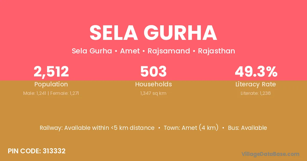
Sela Gurha village is located in the Amet Tehsil of the Rajsamand district in Rajasthan .

About Sela Gurha Village

Block / Tehsil → Amet

District → Rajsamand

State → Rajasthan

According to Census 2011 information, the village code of Sela Gurha village is 313332.

Sela Gurha village has a total population of 2,512 people, of which 1,241 are males and 1,271 are females.

The literacy rate of Sela Gurha village is 49.28%. Male literacy stands at 62.85% and female literacy at 36.03%.

There are approximately 503 households in Sela Gurha village.

Amet (4 km) is the nearest town to Sela Gurha village for major economic activities and is located approximately 4 km away.

Population of Sela Gurha Village

The population of Sela Gurha village is distributed between literate and illiterate residents as follows:

Population distribution of Sela Gurha village by literacy and gender
Particulars Male Female Total
Literate 780 458 1,238
Illiterate 461 813 1,274
Total 1,241 1,271 2,512

Source: Census 2011

Nearby Villages

List of nearby villages around Sela Gurha village
Village District
Khara Kabeerdham
Khara Amreli
Khara Banas Kantha
Khara Banas Kantha
Dhelana Banas Kantha
Dhelana Junagadh
Khara Mahesana
Khara Jammu
Khara Balaghat
Khara Balaghat
Khara Panna
Khara Rewa
Khara Rewa
Khara Satna
Khara Sidhi
Khara Faridkot
Khara Gurdaspur
Khara Kapurthala
Khara Mansa
Khara Tarn Taran
Dhelana Bhilwara
Khara Bikaner
Khara Bikaner
Khara Chittaurgarh
Khara Churu
Khara Dungarpur
Khara Jaisalmer
Khara Jalor
Khara Jalor
Dhelana Jodhpur
Khara Jodhpur
Asan Koteshwari Rajsamand
Dewaji Ka Gurha Rajsamand
Dhelana Rajsamand
Dherdon Ka Gurha Rajsamand
Dhukal Khera Rajsamand
Hakyawas Rajsamand
Kemri Rajsamand
Khara Rajsamand
Narooji Ka Gurha Rajsamand
Pabrana Rajsamand
Teekad Rajsamand
Khara Sirohi
Kemri Udaipur
Khara Udaipur
Dhelana Udaipur
Khara Allahabad
Khara Ghazipur
Khara Kaushambi
Khara Rae Bareli
Khara Shahjahanpur
Khara Sultanpur

Frequently Asked Questions

Sela Gurha village is located in the Amet Tehsil of the Rajsamand district in Rajasthan.
The total population is 2,512 people.
1,241 males and 1,271 females.
The literacy rate is 49.28%.
Male literacy rate is 62.85%, and female literacy rate is 36.03%.
There are approximately 503 houses in Sela Gurha village.
Amet (4 km) is the nearest town, located approximately 4 km away.

Reviews and Ratings

0.0 / 5 (0 reviews)

Reviews

No reviews yet. Be the first to review this village!

Sela Gurha Village Statistics

Population
2512
Area
1347 km²
Households
503
Nearest Town :
Amet (4 km)

Quick Information

State / UT : Rajasthan
Pincode : 313332
Total Area : 1347 km²
Population : 2512
Households : 503
Gram Panchayat : Sela Gurha
Nearest Town : Amet (4 km)

Connectivity of Sela Gurha

🚂 Railway Station

Available within <5 km distance

🚌 Public Bus Service

Available within village

🚌 Private Bus Service

Available within village

Need Help?

Contact local tourism office for assistance