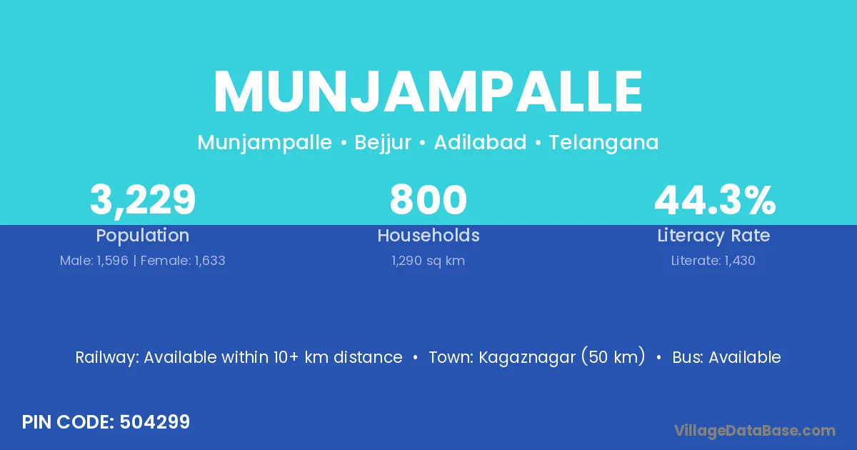
Munjampalle village is located in the Velgatoor Mandal of the Karimnagar district in Telangana .
Block / Mandal → Velgatoor
District → Karimnagar
State → Telangana
According to Census 2011 information, the village code of Munjampalle village is 505416.
Munjampalle village has a total population of 1,376 people, of which 686 are males and 690 are females.
The literacy rate of Munjampalle village is 45.35%. Male literacy stands at 50.44% and female literacy at 40.29%.
There are approximately 383 households in Munjampalle village.
Ramagundam (25 km) is the nearest town to Munjampalle village for major economic activities and is located approximately 25 km away.
The population of Munjampalle village is distributed between literate and illiterate residents as follows:
| Particulars | Male | Female | Total |
|---|---|---|---|
| Literate | 346 | 278 | 624 |
| Illiterate | 340 | 412 | 752 |
| Total | 686 | 690 | 1,376 |
Source: Census 2011
| Village | District |
|---|---|
| Ambaripeta | Karimnagar |
| Cheggaon | Karimnagar |
| Endapalle | Krishna |
| Endapalle | West Godavari |
| Endapalle | Karimnagar |
| Godiselapet | Karimnagar |
| Kothapet | Kolar |
| Kothapet | Adilabad |
| Kothapet | Adilabad |
| Kothapet | Karimnagar |
| Kothapet | Karimnagar |
| Kothapet | Medak |
| Kothapet | Rangareddy |
| Kothapet | Warangal |
| Padkal | Karimnagar |
| Padkal | Nizamabad |
| Paidipalle | Karimnagar |
| Paidipalle | Warangal |
| Paidipalle | Warangal |
| Pathagudur | Karimnagar |
| Sanabanda | Karimnagar |
| Sankenapalle | Karimnagar |
| Undeda | Karimnagar |
No reviews yet. Be the first to review this village!
Available within 10+ km distance
Available within village
Available within 10+ km distance