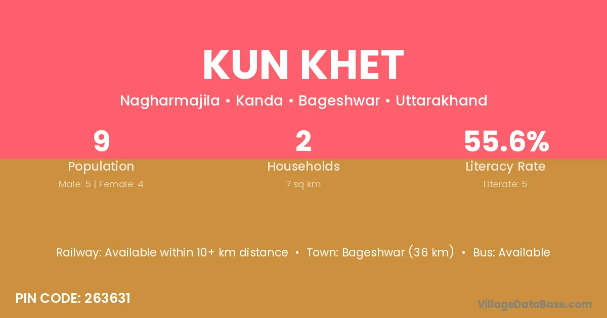
Kun Khet village is located in the Kanda Tehsil of the Bageshwar district in Uttarakhand .
Block / Tehsil → Kanda
District → Bageshwar
State → Uttarakhand
According to Census 2011 information, the village code of Kun Khet village is 263631.
Kun Khet village has a total population of 9 people, of which 5 are males and 4 are females.
The literacy rate of Kun Khet village is 55.56%. Male literacy stands at 80.00% and female literacy at 25.00%.
There are approximately 2 households in Kun Khet village.
Bageshwar (36 km) is the nearest town to Kun Khet village for major economic activities and is located approximately 36 km away.
The population of Kun Khet village is distributed between literate and illiterate residents as follows:
| Particulars | Male | Female | Total |
|---|---|---|---|
| Literate | 4 | 1 | 5 |
| Illiterate | 1 | 3 | 4 |
| Total | 5 | 4 | 9 |
Source: Census 2011
| Village | District |
|---|---|
| Basu Deo | Bageshwar |
| Bijet | Bageshwar |
| Dhapoli | Bageshwar |
| Dharari | Giridih |
| Dharari | Bulandshahr |
| Dharari | Bageshwar |
| Jagthali | Bageshwar |
| Jagthali | Pithoragarh |
| Kande Kanyal | Bageshwar |
| Lohar Khet | Bageshwar |
| Mantoli | Bageshwar |
| Mantoli | Bageshwar |
| Mantoli | Pithoragarh |
| Nag Kanyal | Bageshwar |
| Naghar Majila | Bageshwar |
| Sunar Gaon | Bageshwar |
| Sunar Gaon | Garhwal |
| Sunar Gaon | Garhwal |
| Sunar Gaon | Tehri Garhwal |
| Sunar Gaon | Tehri Garhwal |
No reviews yet. Be the first to review this village!
Available within 10+ km distance
Available within 5 - 10 km distance
Available within 5 - 10 km distance