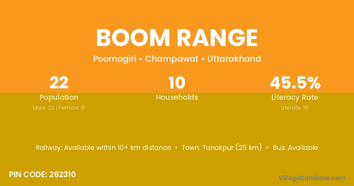
Boom Range village is located in the Poornagiri Tehsil of the Champawat district in Uttarakhand .
Block / Tehsil → Poornagiri
District → Champawat
State → Uttarakhand
According to Census 2011 information, the village code of Boom Range village is 262310.
Boom Range village has a total population of 22 people, of which 22 are males and 0 are females.
The literacy rate of Boom Range village is 45.45%. Male literacy stands at 45.45% and female literacy at 0%.
There are approximately 10 households in Boom Range village.
Tanakpur (25 km) is the nearest town to Boom Range village for major economic activities and is located approximately 25 km away.
The population of Boom Range village is distributed between literate and illiterate residents as follows:
| Particulars | Male | Female | Total |
|---|---|---|---|
| Literate | 10 | 0 | 10 |
| Illiterate | 12 | 0 | 12 |
| Total | 22 | 0 | 22 |
Source: Census 2011
| Village | District |
|---|---|
| Banbasa | Champawat |
| Banbasa Canal Range | Champawat |
| Bhaesa Ghala | Champawat |
| Boom Range | Champawat |
| Danda Range | Champawat |
| Dogadi Range | Champawat |
| Khatima Range | Champawat |
| Lagga Naini Chauk | Nainital |
| Sharda Range | Champawat |
No reviews yet. Be the first to review this village!
Available within 10+ km distance
Available within 10+ km distance
Available within 10+ km distance