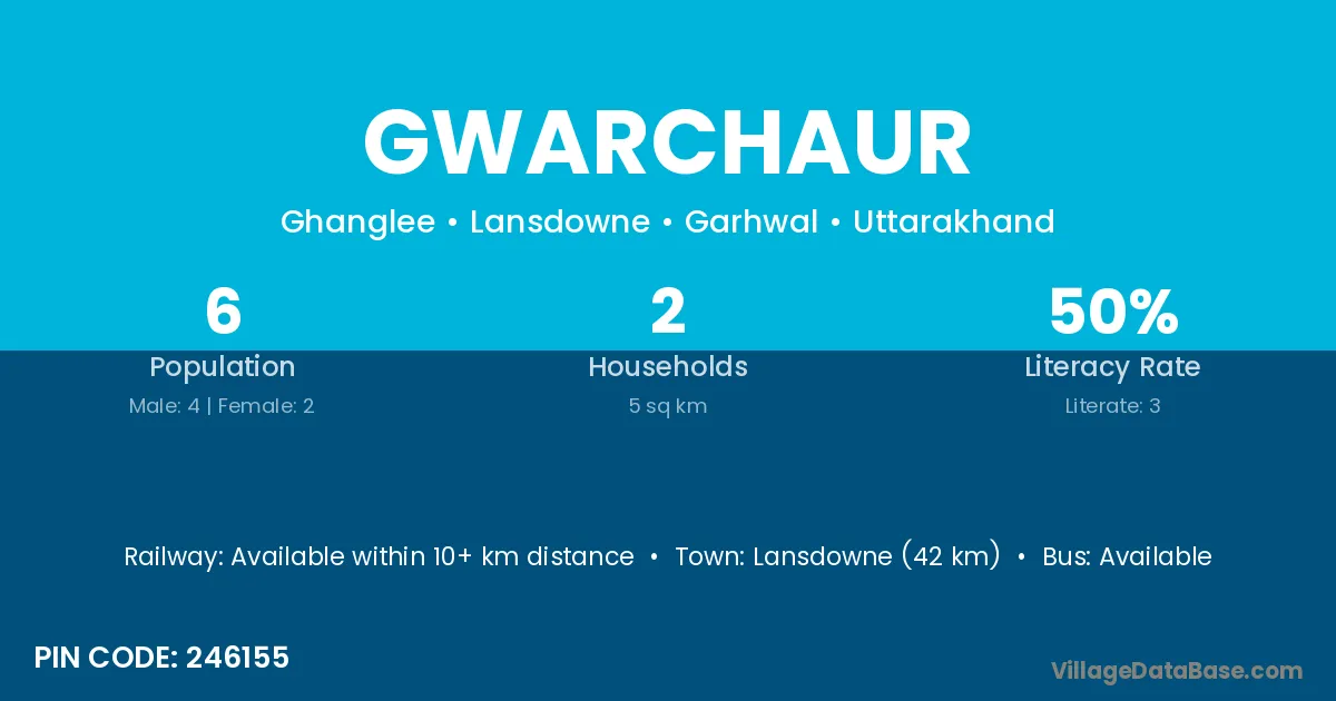
Gwarchaur village is located in the Lansdowne Tehsil of the Garhwal district in Uttarakhand .
Block / Tehsil → Lansdowne
District → Garhwal
State → Uttarakhand
According to Census 2011 information, the village code of Gwarchaur village is 246155.
Gwarchaur village has a total population of 6 people, of which 4 are males and 2 are females.
The literacy rate of Gwarchaur village is 50.00%. Male literacy stands at 75.00% and female literacy at 0.00%.
There are approximately 2 households in Gwarchaur village.
Lansdowne (42 km) is the nearest town to Gwarchaur village for major economic activities and is located approximately 42 km away.
The population of Gwarchaur village is distributed between literate and illiterate residents as follows:
| Particulars | Male | Female | Total |
|---|---|---|---|
| Literate | 3 | 0 | 3 |
| Illiterate | 1 | 2 | 3 |
| Total | 4 | 2 | 6 |
Source: Census 2011
| Village | District |
|---|---|
| Asankhat | Garhwal |
| Bedur Gaon | Garhwal |
| Dhangli | Garhwal |
| Dhaniya Kot | Garhwal |
| Jakh Malla | Garhwal |
| Jakh Talla | Garhwal |
| Manjhola | Farrukhabad |
| Manjhola | Mainpuri |
| Manjhola | Garhwal |
| Nau Gaon | Bageshwar |
| Nau Gaon | Chamoli |
| Nau Gaon | Garhwal |
| Nau Gaon | Garhwal |
| Nau Gaon | Garhwal |
| Nau Gaon | Garhwal |
| Rankot Talla | Garhwal |
| Sandrana | Garhwal |
| Thukriyalsar | Garhwal |
No reviews yet. Be the first to review this village!
Available within 10+ km distance
Available within <5 km distance
Available within <5 km distance