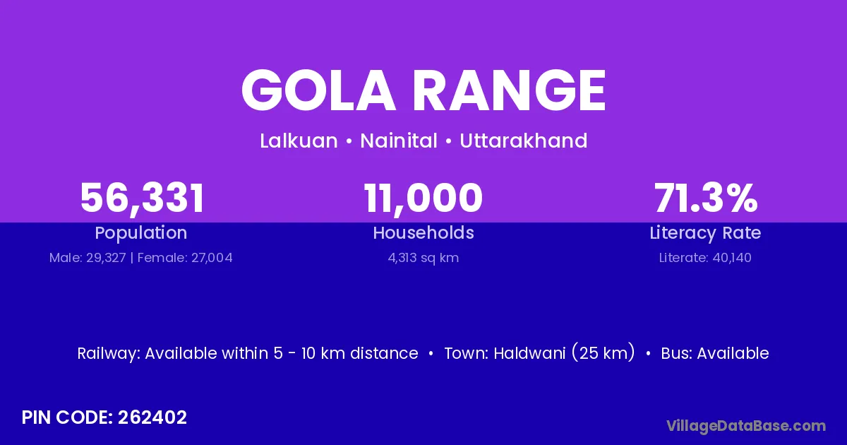
Gola Range village is located in the Lalkuan Tehsil of the Nainital district in Uttarakhand .
Block / Tehsil → Lalkuan
District → Nainital
State → Uttarakhand
According to Census 2011 information, the village code of Gola Range village is 262402.
Gola Range village has a total population of 56,331 people, of which 29,327 are males and 27,004 are females.
The literacy rate of Gola Range village is 71.26%. Male literacy stands at 78.95% and female literacy at 62.91%.
There are approximately 11,000 households in Gola Range village.
Haldwani (25 km) is the nearest town to Gola Range village for major economic activities and is located approximately 25 km away.
The population of Gola Range village is distributed between literate and illiterate residents as follows:
| Particulars | Male | Female | Total |
|---|---|---|---|
| Literate | 23,153 | 16,987 | 40,140 |
| Illiterate | 6,174 | 10,017 | 16,191 |
| Total | 29,327 | 27,004 | 56,331 |
Source: Census 2011
| Village | District |
|---|---|
| Bachi Newar | Nainital |
| Bametabangar Keshavdatt | Nainital |
| Beljuri | Udham Singh Nagar |
| Dasho Diyawala | Udham Singh Nagar |
| Dumka Bangar Bachi Dharma | Nainital |
| Halduchaur Devram | Nainital |
| Haldwani Range | Nainital |
| Haripur Bachi | Nainital |
| Kudiyonwala | Udham Singh Nagar |
| Missarwala | Moradabad |
| Missarwala | Udham Singh Nagar |
| Tanda Range | Nainital |
| Tanda Range | Udham Singh Nagar |
| Tanda Range | Udham Singh Nagar |
No reviews yet. Be the first to review this village!
Available within 5 - 10 km distance
Available within 5 - 10 km distance
Available within 5 - 10 km distance