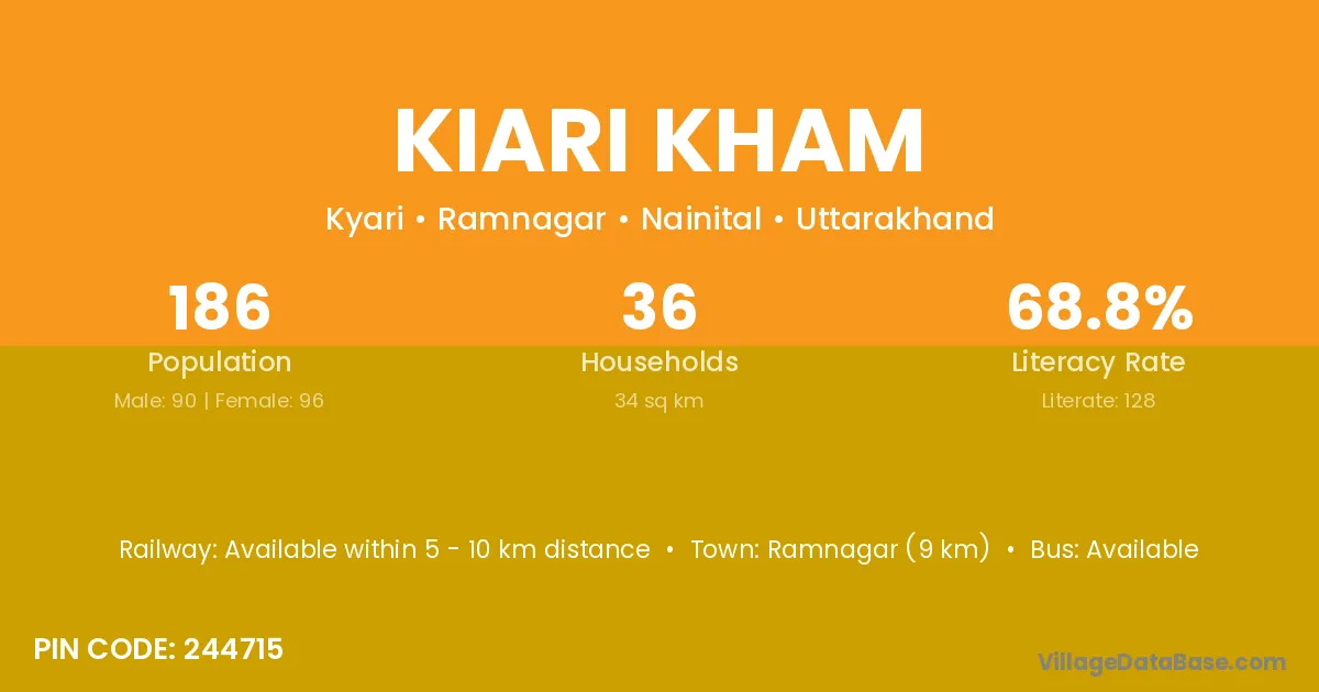
Kiari Kham village is located in the Ramnagar Tehsil of the Nainital district in Uttarakhand .
Block / Tehsil → Ramnagar
District → Nainital
State → Uttarakhand
According to Census 2011 information, the village code of Kiari Kham village is 244715.
Kiari Kham village has a total population of 186 people, of which 90 are males and 96 are females.
The literacy rate of Kiari Kham village is 68.82%. Male literacy stands at 78.89% and female literacy at 59.38%.
There are approximately 36 households in Kiari Kham village.
Ramnagar (9 km) is the nearest town to Kiari Kham village for major economic activities and is located approximately 9 km away.
The population of Kiari Kham village is distributed between literate and illiterate residents as follows:
| Particulars | Male | Female | Total |
|---|---|---|---|
| Literate | 71 | 57 | 128 |
| Illiterate | 19 | 39 | 58 |
| Total | 90 | 96 | 186 |
Source: Census 2011
| Village | District |
|---|---|
| Belgarh | Yamunanagar |
| Belgarh | Simdega |
| Belgarh | Nainital |
| Bhalon | Solan |
| Bhalon | Nainital |
| Chhoi | Solan |
| Chhoi | Nainital |
| Gangapur Chhoi | Nainital |
| Kiari Bandobast | Nainital |
| Kishanpur Chhoi | Nainital |
| Patkot | Nainital |
| Shimli | Hoshiarpur |
| Shimli | Sikar |
| Shimli | Nainital |
| Sovanpur | Nainital |
| Taira | Pashchimi Singhbhum |
| Taira | Nainital |
| Udaipuri Negi | Nainital |
No reviews yet. Be the first to review this village!
Available within 5 - 10 km distance
Available within 5 - 10 km distance
Available within 5 - 10 km distance