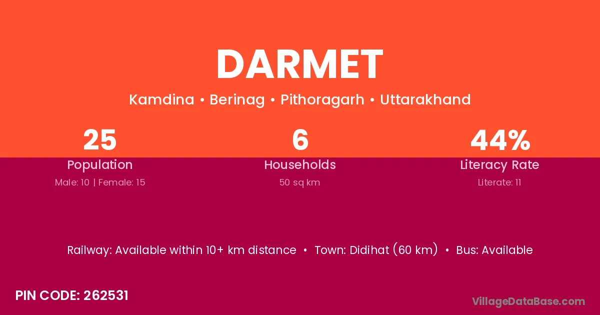
Darmet village is located in the Berinag Tehsil of the Pithoragarh district in Uttarakhand .
Block / Tehsil → Berinag
District → Pithoragarh
State → Uttarakhand
According to Census 2011 information, the village code of Darmet village is 262531.
Darmet village has a total population of 25 people, of which 10 are males and 15 are females.
The literacy rate of Darmet village is 44.00%. Male literacy stands at 30.00% and female literacy at 53.33%.
There are approximately 6 households in Darmet village.
Didihat (60 km) is the nearest town to Darmet village for major economic activities and is located approximately 60 km away.
The population of Darmet village is distributed between literate and illiterate residents as follows:
| Particulars | Male | Female | Total |
|---|---|---|---|
| Literate | 3 | 8 | 11 |
| Illiterate | 7 | 7 | 14 |
| Total | 10 | 15 | 25 |
Source: Census 2011
| Village | District |
|---|---|
| Bagdoli | Surguja |
| Bagdoli | Sambalpur |
| Bagdoli | Sawai Madhopur |
| Bagdoli | Pithoragarh |
| Bagdoli | Dakshin Dinajpur |
| Birtola | Sundargarh |
| Birtola | Sundargarh |
| Birtola | Sundargarh |
| Birtola | Pithoragarh |
| Chhalori | Pithoragarh |
| Chhalori | Pithoragarh |
| Hariyat Naghar | Pithoragarh |
| Kala Sil | Pithoragarh |
| Kamdeena | Pithoragarh |
| Kir Moliya | Pithoragarh |
| Nayal Saknoli | Pithoragarh |
| Puriyag Maphi | Pithoragarh |
| Sahu Garau | Pithoragarh |
| Sala Khet | Pithoragarh |
No reviews yet. Be the first to review this village!
Available within 10+ km distance
Available within 5 - 10 km distance
Available within 5 - 10 km distance