Dharchula: A Town and Tehsil in Pithoragarh district
District → Pithoragarh
State → Uttarakhand
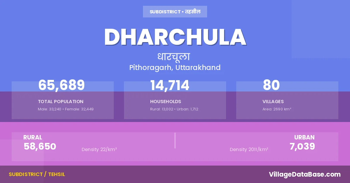
Dharchula is a town and Tehsil in the Pithoragarh district of the Uttarakhand. In India, a Tehsil is a subdivision of a district responsible for the administration and revenue collection of a specific area within the district. Tehsils play a crucial role in the local governance structure, contributing significantly to the development and administration of their communities.
According to the 2011 census The total area of Dharchula Tehsil is 2690 km², with a population of 65689 people. The population density is 24 inhabitants per square kilometre, and there are approximately 14714 houses in the sub district.
Dharchula Tehsil comprises about 80 villages. Below is a list of these villages along with information about their respective gram panchayats and the nearest town:
| # | Village Name | Gram Panchayat | Nearest Town |
|---|---|---|---|
| 1 | Baling | Baling | Dharchula (69 km) |
| 2 | Baluwakot | Baluwakot | Dharchula (16 km) |
| 3 | Bangapani | Banga Pani | Dharchula (57 km) |
| 4 | Baram | Baram | Dharchula (43 km) |
| 5 | Bauling | Dharchula (50 km) | |
| 6 | Baun | Baun | Dharchula (77 km) |
| 7 | Bundi | Bundi | Dharchula (60 km) |
| 8 | Bung Bung | Bung Bung | Dharchula (38 km) |
| 9 | Chal | Chal | Dharchula (55 km) |
| 10 | Chhalmachhilason | Chalma Chhilason | Dharchula (56 km) |
| 11 | Chharchhum | Chharchhum | Dharchula (13 km) |
| 12 | Dar | Dar | Dharchula (46 km) |
| 13 | Daubu Yangsu | Dharchula (75 km) | |
| 14 | Dhar Pangu | Dhar Pangu | Dharchula (50 km) |
| 15 | Dharchula Dehat | Dharchula (4 km) | |
| 16 | Dhunga Toli | Dunga Toli | Dharchula (18 km) |
| 17 | Dug R F | Dharchula (45 km) | |
| 18 | Dugtu | Dugtu | Dharchula (73 km) |
| 19 | Duti Bagad | Diyuti Bagar | Dharchula (28 km) |
| 20 | Galagar | Dharchula (55 km) | |
| 21 | Galati | Galati | Dharchula (11 km) |
| 22 | Garbyang | Garbiyang | Dharchula (65 km) |
| 23 | Garguwa | Garguwa | Dharchula (30 km) |
| 24 | Go | Gau | Dharchula (88 km) |
| 25 | Gumkana | Dhar Pangu | Dharchula (51 km) |
| 26 | Gunji | Gunjee | Dharchula (65 km) |
| 27 | Heera Gumari R F | Dharchula (45 km) | |
| 28 | Himkhola | Himkhola | Dharchula (56 km) |
| 29 | Jamku | Jamku | Dharchula (30 km) |
| 30 | Jarajibli | Jara Jeebli | Dharchula (35 km) |
| 31 | Jaykot | Jai Kot | Dharchula (35 km) |
| 32 | Jipti | Jipti | Dharchula (60 km) |
| 33 | Jumma | Jumma | Dharchula (15 km) |
| 34 | Juntigar R F | Dharchula (45 km) | |
| 35 | Jyoti Pangu | Jyoti Pangu | Dharchula (43 km) |
| 36 | Kalika | Kalika | Dharchula (7 km) |
| 37 | Kanar | Kanar | Dharchula (58 km) |
| 38 | Khela | Khela | Dharchula (25 km) |
| 39 | Khet | Khet | Dharchula (29 km) |
| 40 | Khimling | Gau | Dharchula (86 km) |
| 41 | Khumati | Khumti | Dharchula (16 km) |
| 42 | Kimkhola | Kimkhola | Dharchula (23 km) |
| 43 | Kuti | Kuti | Dharchula (65 km) |
| 44 | Lum | Jamku | Dharchula (27 km) |
| 45 | Lumati | Lumti | Dharchula (50 km) |
| 46 | Majtham Payya R F | Dharchula (20 km) | |
| 47 | Marchha | Marchha | Dharchula (89 km) |
| 48 | Metali | Metalee | Dharchula (47 km) |
| 49 | Nagling | Nagling | Dharchula (62 km) |
| 50 | Napalachchu | Napalachchu | Dharchula (65 km) |
| 51 | Navi | Navi | Dharchula (68 km) |
| 52 | New | New | Dharchula (40 km) |
| 53 | Pangla | Pangala | Dharchula (40 km) |
| 54 | Payya Pauri | Payya Pauri | Dharchula (31 km) |
| 55 | Philam | Philam | Dharchula (78 km) |
| 56 | Punla Bhataka | Chalma Chhilason | Dharchula (57 km) |
| 57 | Ramtoli | Ram Toli | Dharchula (8 km) |
| 58 | Ranthi | Ranthi | Dharchula (15 km) |
| 59 | Raung Kong | Rong Kong | Dharchula (69 km) |
| 60 | Rung | Rung | Dharchula (55 km) |
| 61 | Rungling R F | Dharchula (36 km) | |
| 62 | Sagri Dhakdhauna | Garguwa | Dharchula (28 km) |
| 63 | Sela | Sela | Dharchula (47 km) |
| 64 | Sipu | Seepu | Dharchula (91 km) |
| 65 | Sirdang | Sir Dang | Dharchula (65 km) |
| 66 | Sirkha | Sirkha | Dharchula (60 km) |
| 67 | Sobala | New | Dharchula (42 km) |
| 68 | Sobala R F | Dharchula (35 km) | |
| 69 | Sosa | Sosa | Dharchula (60 km) |
| 70 | Suwa | Suwa | Dharchula (50 km) |
| 71 | Syankuri | Syankuri | Dharchula (15 km) |
| 72 | Tankul | Tankul | Dharchula (45 km) |
| 73 | Tanta Gaon Roto | Dhar Pangu | Dharchula (55 km) |
| 74 | Tejam | Umchiya | Dharchula (44 km) |
| 75 | Thakla Dhafiya Dhura R F | Dharchula (35 km) | |
| 76 | Tham | Diyuti Bagar | Dharchula (32 km) |
| 77 | Tidang | Tidang | Dharchula (84 km) |
| 78 | Toli | Toli | Dharchula (38 km) |
| 79 | Umachiya | Umchiya | Dharchula (51 km) |
| 80 | Watan | Umchiya | Dharchula (45 km) |
The population is distributed between urban and rural areas as follows:
| Particulars | Rural | Urban | Total |
|---|---|---|---|
| Total Population | 58650 | 7039 | 65689 |
| Male Population | 29443 | 3797 | 33240 |
| Female Population | 29207 | 3242 | 32449 | Population Density | 22 / km² | 2011 / km² | 24 / km² |
The distribution of households in the Dharchula is:
| Rural Households | Urban Households | Total Households |
|---|---|---|
| 13002 | 1712 | 14714 |
Q: What is Dharchula?
A: Dharchula is a town and in the Pithoragarh district of the Uttarakhand.
Q: What is the total area of Dharchula Tehsil?
A: The total area of Dharchula Tehsil is 2690 km².
Q: What is the population of Dharchula Tehsil according to the 2011 census?
A: According to the 2011 census, the population of Dharchula Tehsil is 65689.
Q: What is the population density of Dharchula Tehsil?
A: The population density of Dharchula Tehsil is 24 inhabitants per square kilometre.
Q: How many houses are there in Dharchula Tehsil?
A: There are approximately 14714 houses in Dharchula Tehsil.
Q: How many villages are there in Dharchula Tehsil?
A: There are about 80 villages in Dharchula Tehsil.
Q: Which is the largest village by population in Dharchula Tehsil?
A: The largest village by population in Dharchula Tehsil is Baluwakot, with 5455 people.
Q: Which is the smallest village by population in Dharchula Tehsil?
A: The smallest village by population in Dharchula Tehsil is Gumkana, with 0 people.
Q: Which is the largest village by area in Dharchula Tehsil?
A: The largest village by area in Dharchula Tehsil is Dug R F, with 6276 km².
Q: Which is the smallest village by area in Dharchula Tehsil?
A: The smallest village by area in Dharchula Tehsil is Gumkana, with 14 km².
Q: What is the male population of Dharchula Tehsil?
A: The male population of Dharchula Tehsil is 33240.
Q: What is the female population of Dharchula Tehsil?
A: The female population of Dharchula Tehsil is 32449.
Q: How many villages in Dharchula Tehsil have a population of less than 100?
A: There are 16 villages in Dharchula Tehsil with a population of less than 100.
Q: How many villages in Dharchula Tehsil have a population between 100 and 499?
A: There are 35 villages in Dharchula Tehsil with a population between 100 and 499.
Q: How many villages in Dharchula Tehsil have a population between 500 and 999?
A: There are 12 villages in Dharchula Tehsil with a population between 500 and 999.
Q: How many villages in Dharchula Tehsil have a population between 1000 and 1999?
A: There are 11 villages in Dharchula Tehsil with a population between 1000 and 1999.
Q: How many villages in Dharchula Tehsil have a population between 2000 and 2999?
A: There is 2 village in Dharchula Tehsil with a population between 2000 and 2999.
Q: How many villages in Dharchula Tehsil have a population between 3000 and 3999?
A: There is 1 village in Dharchula Tehsil with a population between 3000 and 3999.
Q: How many villages in Dharchula Tehsil have a population between 4000 and 4999?
A: There is 1 village in Dharchula Tehsil with a population between 4000 and 4999.
Q: How many villages in Dharchula Tehsil have a population of 5000 and above?
A: There is 2 village in Dharchula Tehsil with a population of 5000 and above.
| Total Population | Villages in Sub District Of Dharchula |
|---|---|
| Less than 100 | 16 |
| 100-499 | 35 |
| 500-999 | 12 |
| 1000-1999 | 11 |
| 2000-2999 | 2 |
| 3000-3999 | 1 |
| 4000-4999 | 1 |
| 5000 And Above | 2 |