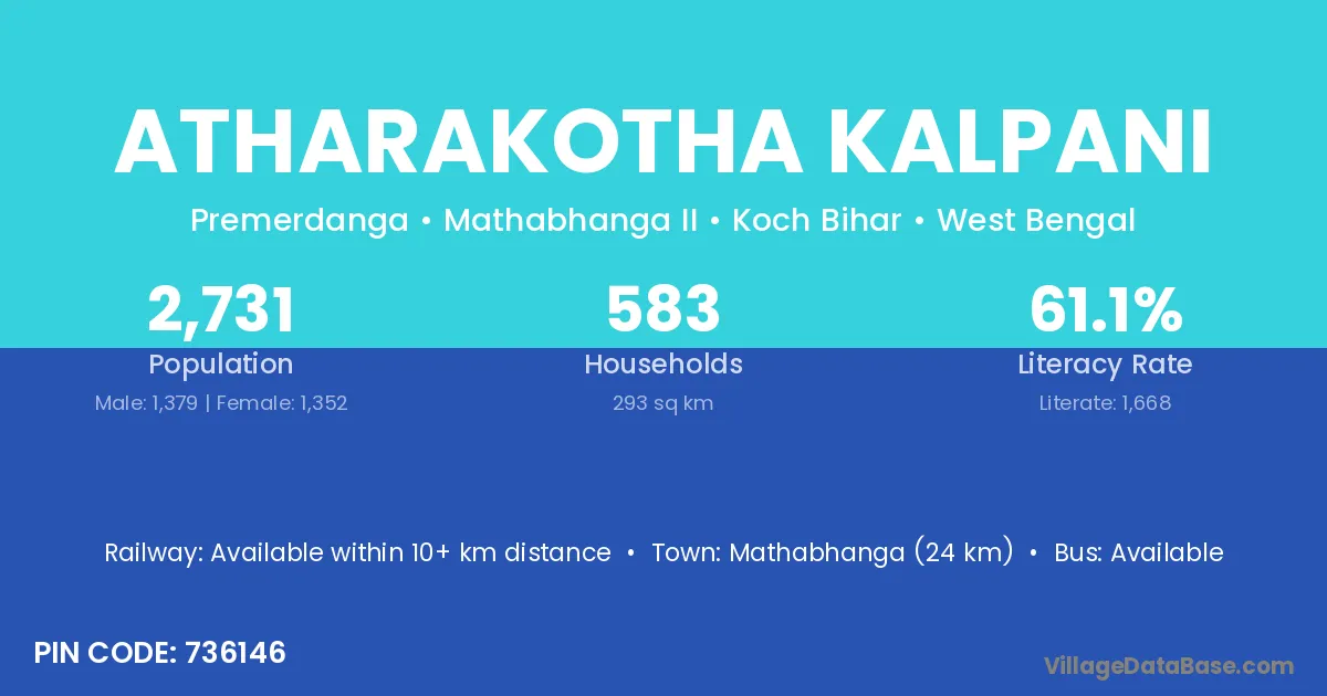
Atharakotha Kalpani village is located in the Mathabhanga II Subdivision of the Koch Bihar district in West Bengal .
Block / Subdivision → Mathabhanga II
District → Koch Bihar
State → West Bengal
According to Census 2011 information, the village code of Atharakotha Kalpani village is 736146.
Atharakotha Kalpani village has a total population of 2,731 people, of which 1,379 are males and 1,352 are females.
The literacy rate of Atharakotha Kalpani village is 61.08%. Male literacy stands at 65.48% and female literacy at 56.58%.
There are approximately 583 households in Atharakotha Kalpani village.
Mathabhanga (24 km) is the nearest town to Atharakotha Kalpani village for major economic activities and is located approximately 24 km away.
The population of Atharakotha Kalpani village is distributed between literate and illiterate residents as follows:
| Particulars | Male | Female | Total |
|---|---|---|---|
| Literate | 903 | 765 | 1,668 |
| Illiterate | 476 | 587 | 1,063 |
| Total | 1,379 | 1,352 | 2,731 |
Source: Census 2011
| Village | District |
|---|---|
| Chandanchaura | Koch Bihar |
| Dalua Dasgir | Koch Bihar |
| Dhekarkuthi | Koch Bihar |
| Gayergari | Koch Bihar |
| Ghargharia Dwitia Khanda | Koch Bihar |
| Khatimari | Koch Bihar |
| Matiar Kuthi | Koch Bihar |
| Purba Phalimari | Koch Bihar |
| Subharpathar | Koch Bihar |
| Talliguri | Koch Bihar |
| Tetulguri | Koch Bihar |
No reviews yet. Be the first to review this village!
Available within 10+ km distance
Available within 5 - 10 km distance
Available within 5 - 10 km distance